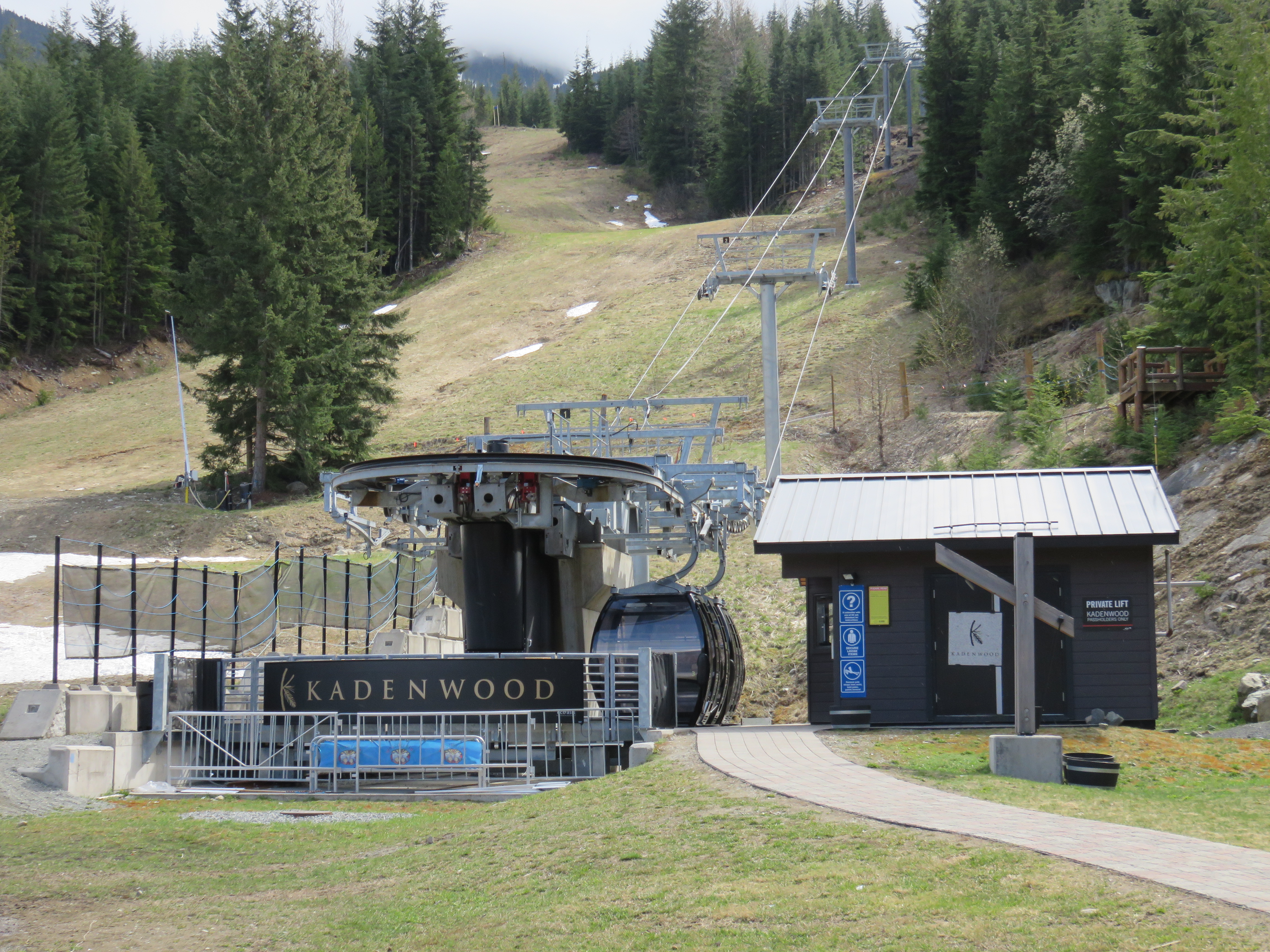
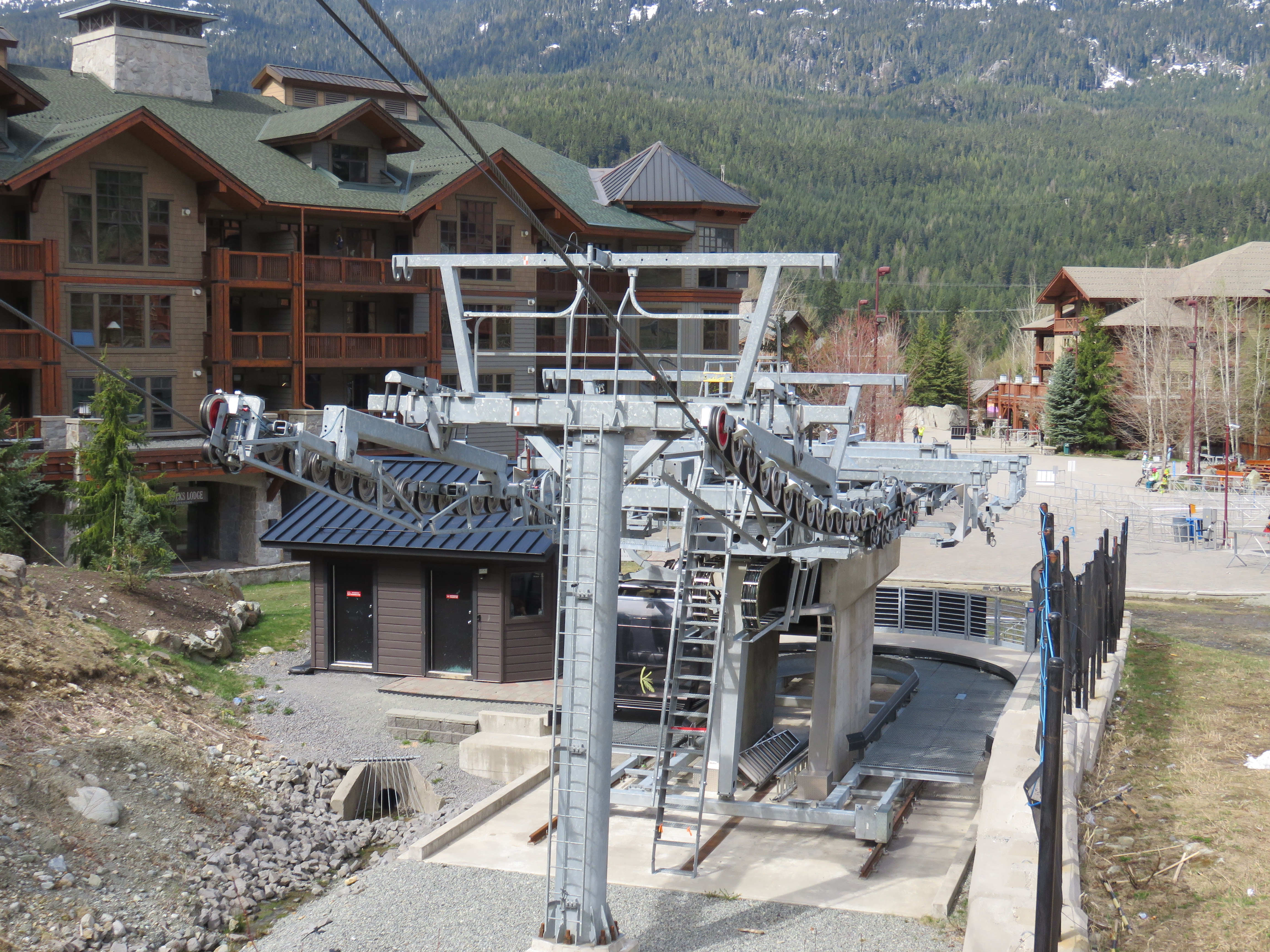
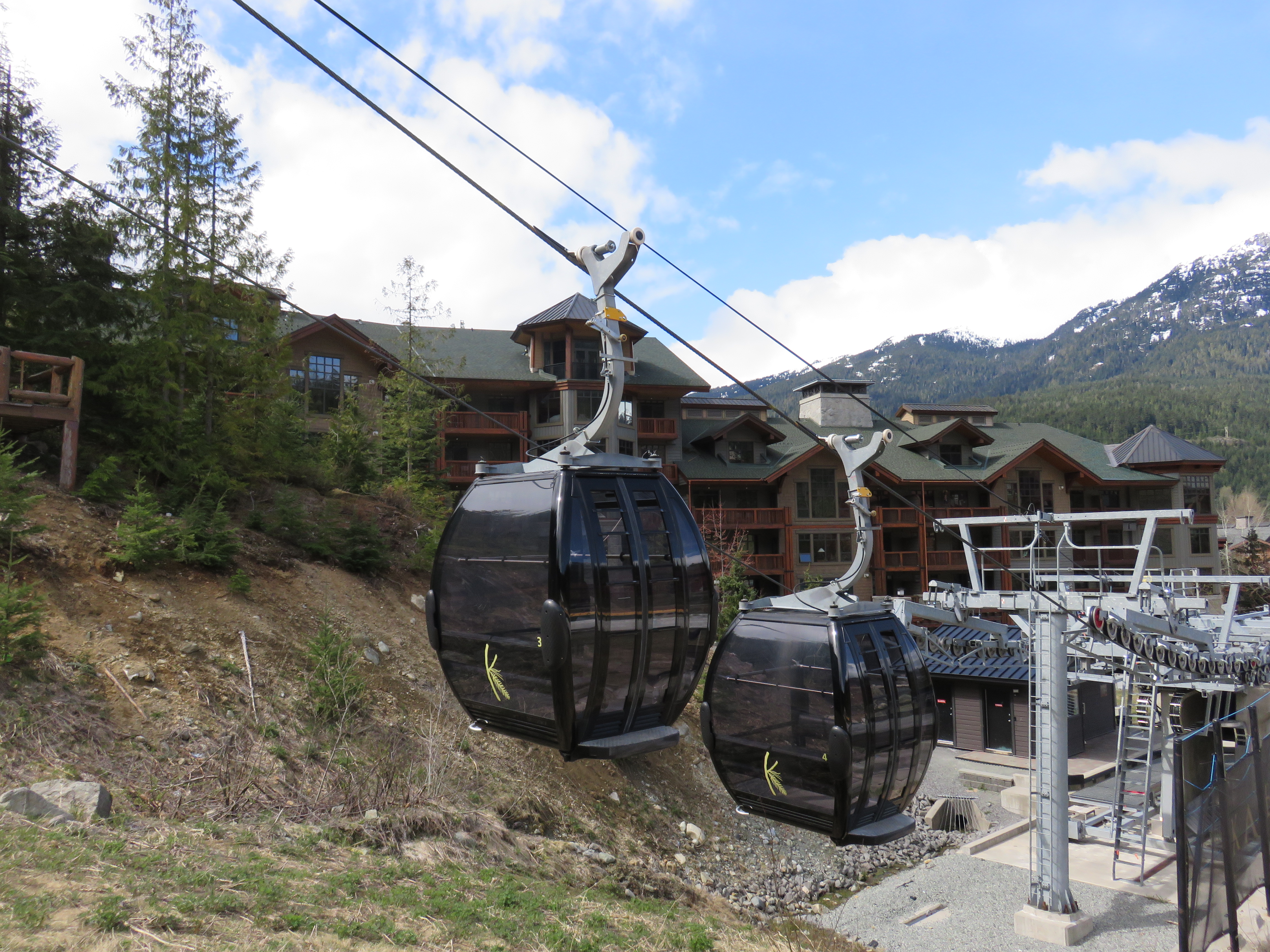
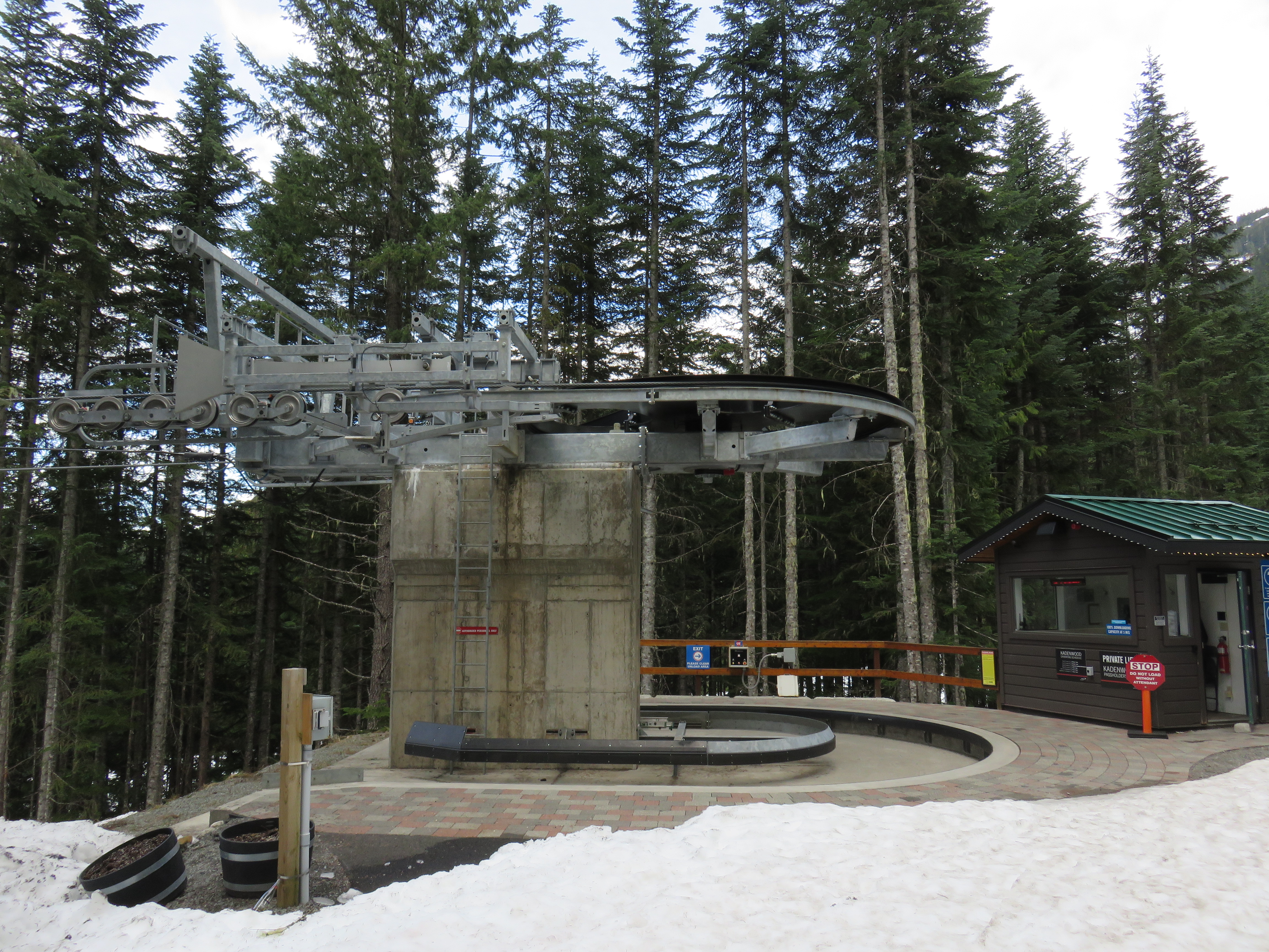
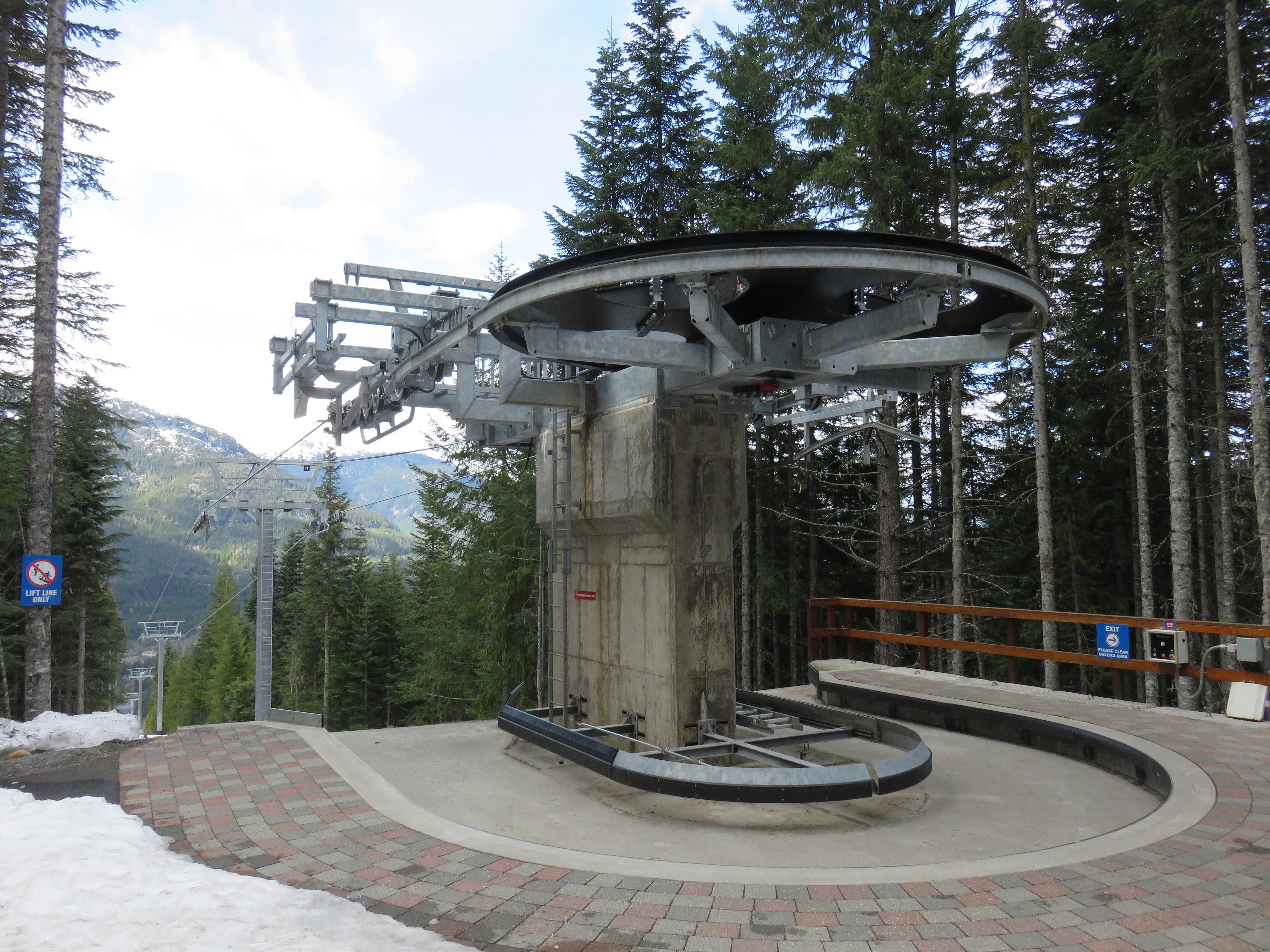
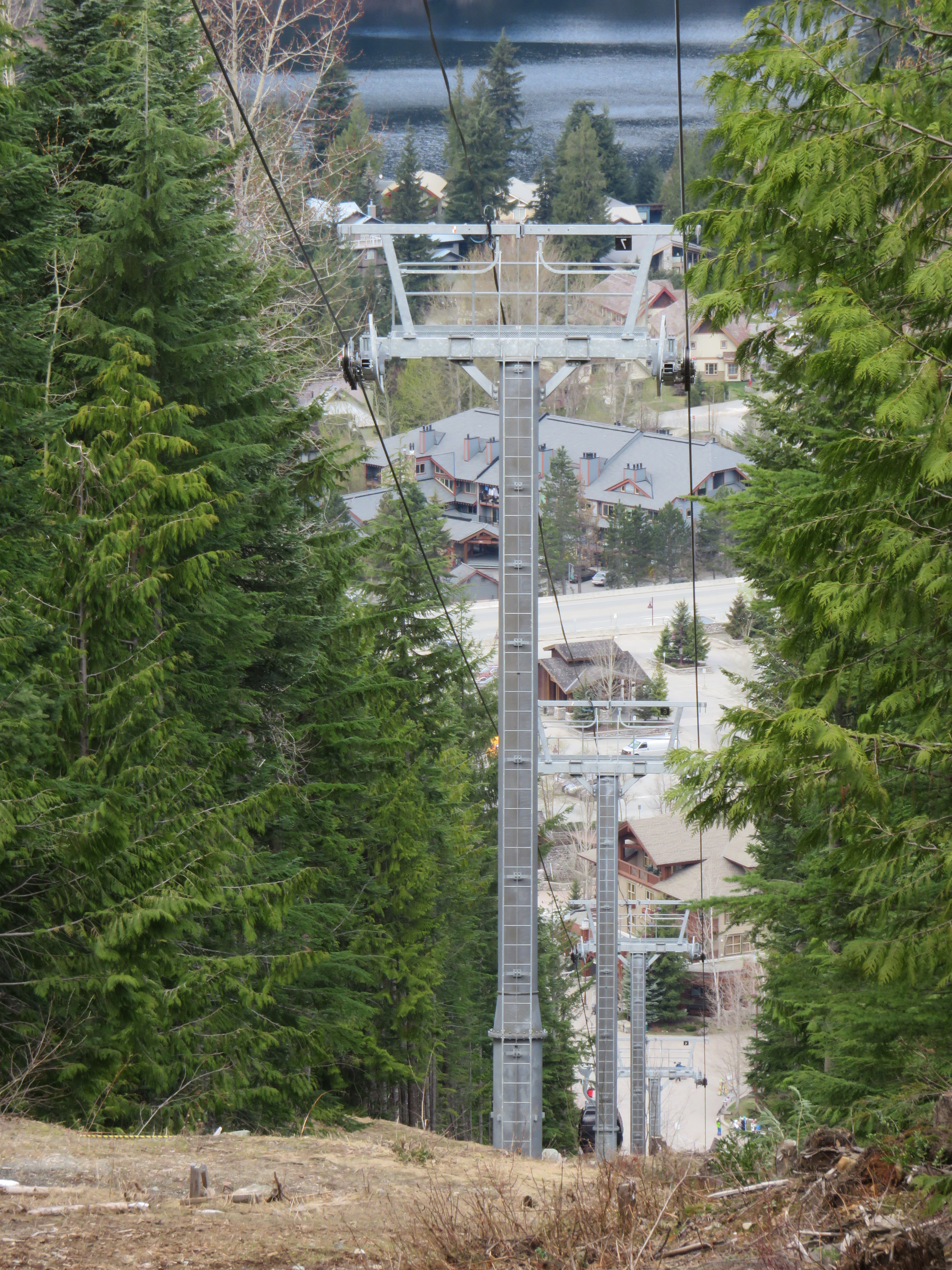
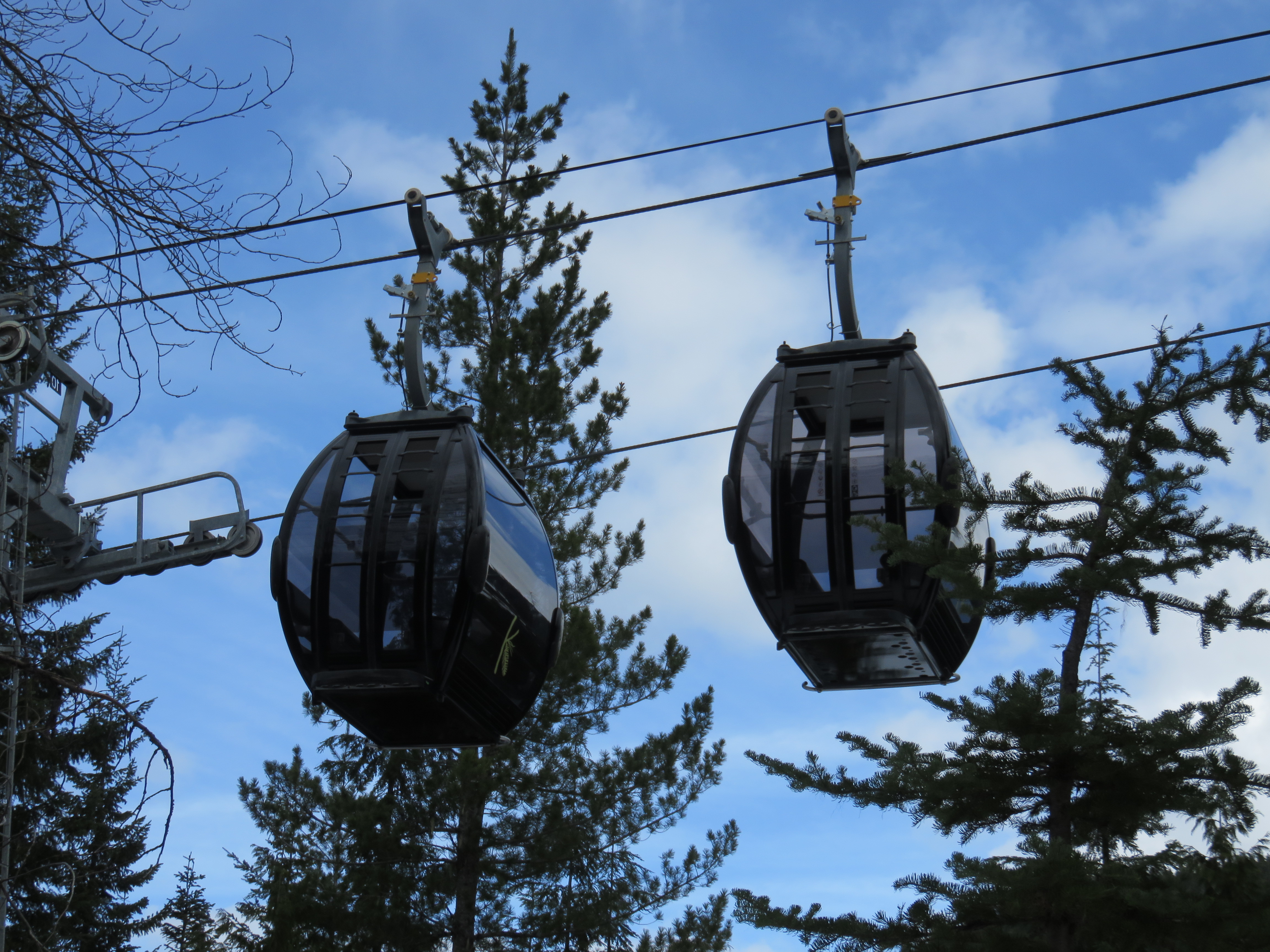
Bottom drive at Creekside in the spring.This lift only has 4 cabins.Lower terminal area.Cabins departing the base.Top station.Unlooading area up top.Doppelmayr towers.Lower lift line.CWA Omega IV cabins.
Its a pulse gondola. Full speed between stations and slow when cabins in the station. It is a private access lift for the Kadenwood subdivision, so not on map.
It unloads and loads on the arriving side I think. Here’s a video for those interested on what it sounds like and some things on how the loading procedure works.
Never mind, I found where it runs. It starts next to Creekside gondola and runs parallel to Peak to Creek and unloads on the Kadenwood Trail. You can see the lift line of Google Earth.


Where is this? I presume its a private gondola, because I can’t find it on the map.
LikeLiked by 1 person
Its by the creekside gondola. Its not on the trailmap because WB does not own it.
LikeLike
Who uses it then?
LikeLike
It’s for homeowners in the Kadenwood development.
LikeLike
I found it on Google Maps. Here: https://www.google.com/maps/place/Kadenwood+Gondola/@50.0884715,-122.9883849,15.01z/data=!4m6!3m5!1s0x5487230ce26c0ba9:0x4a508672dcdbe939!8m2!3d50.0864423!4d-122.9849337!16s%2Fg%2F11ss3jg15w?entry=ttu
LikeLike
It is not owned by WB, so it is not on the map
LikeLike
what’s wrong with this gondola? why does it only have 4 cabins, and is literally not even on the map?
LikeLike
Its a pulse gondola. Full speed between stations and slow when cabins in the station. It is a private access lift for the Kadenwood subdivision, so not on map.
LikeLike
Where does this gondola load and unload?
LikeLike
It unloads and loads on the arriving side I think. Here’s a video for those interested on what it sounds like and some things on how the loading procedure works.
LikeLike
I mean geographically.
LikeLike
Never mind, I found where it runs. It starts next to Creekside gondola and runs parallel to Peak to Creek and unloads on the Kadenwood Trail. You can see the lift line of Google Earth.
LikeLike