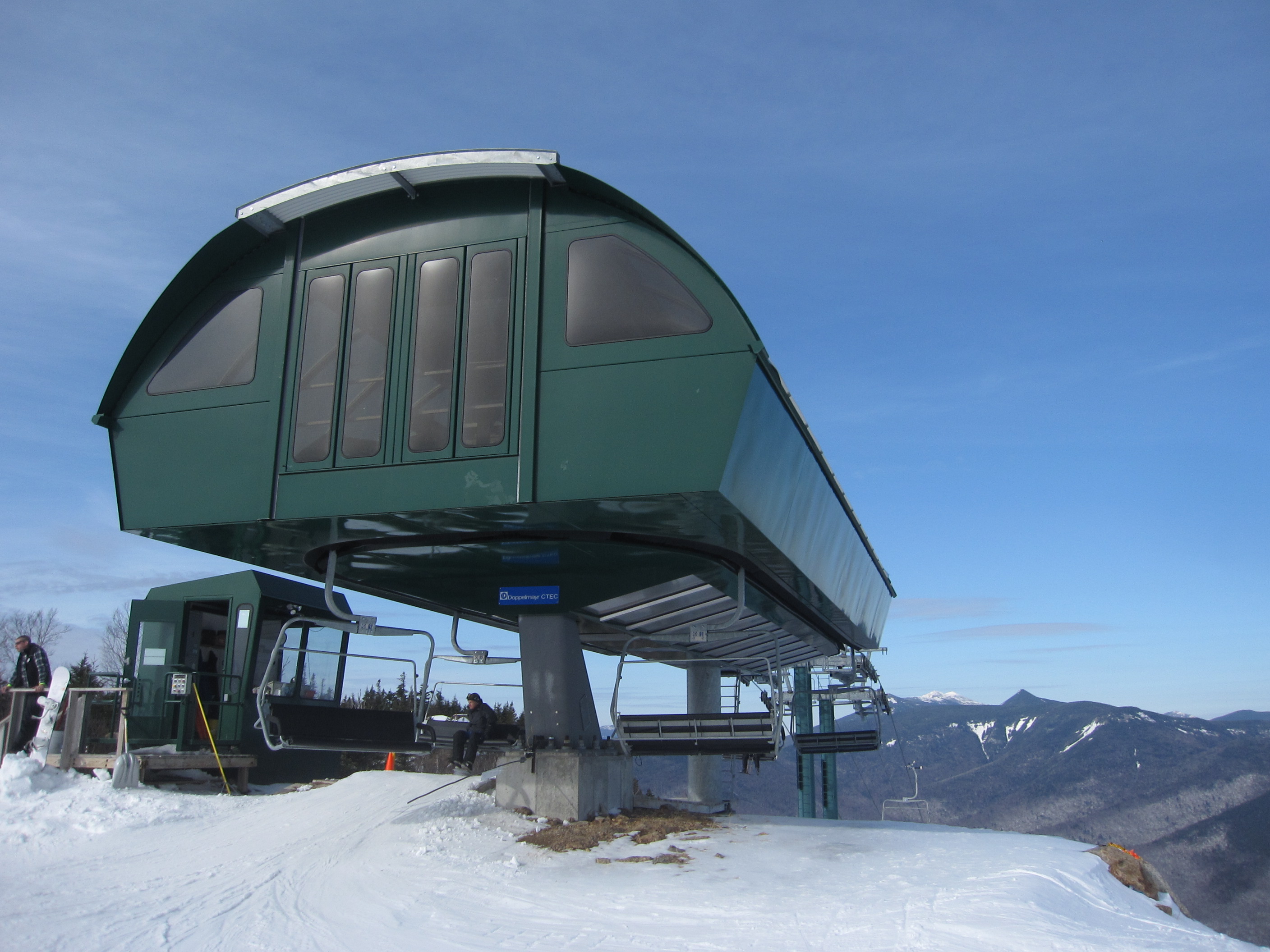
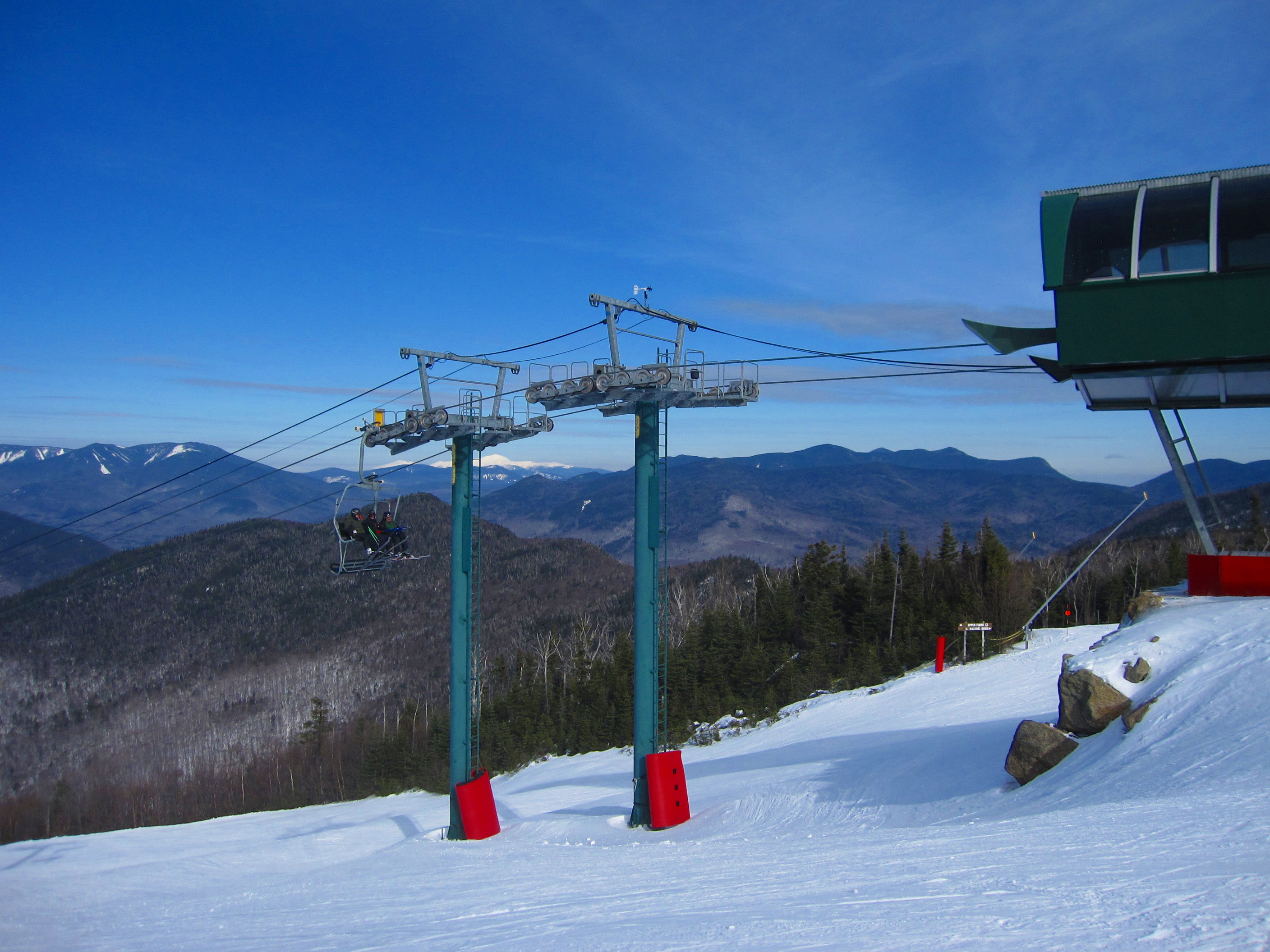
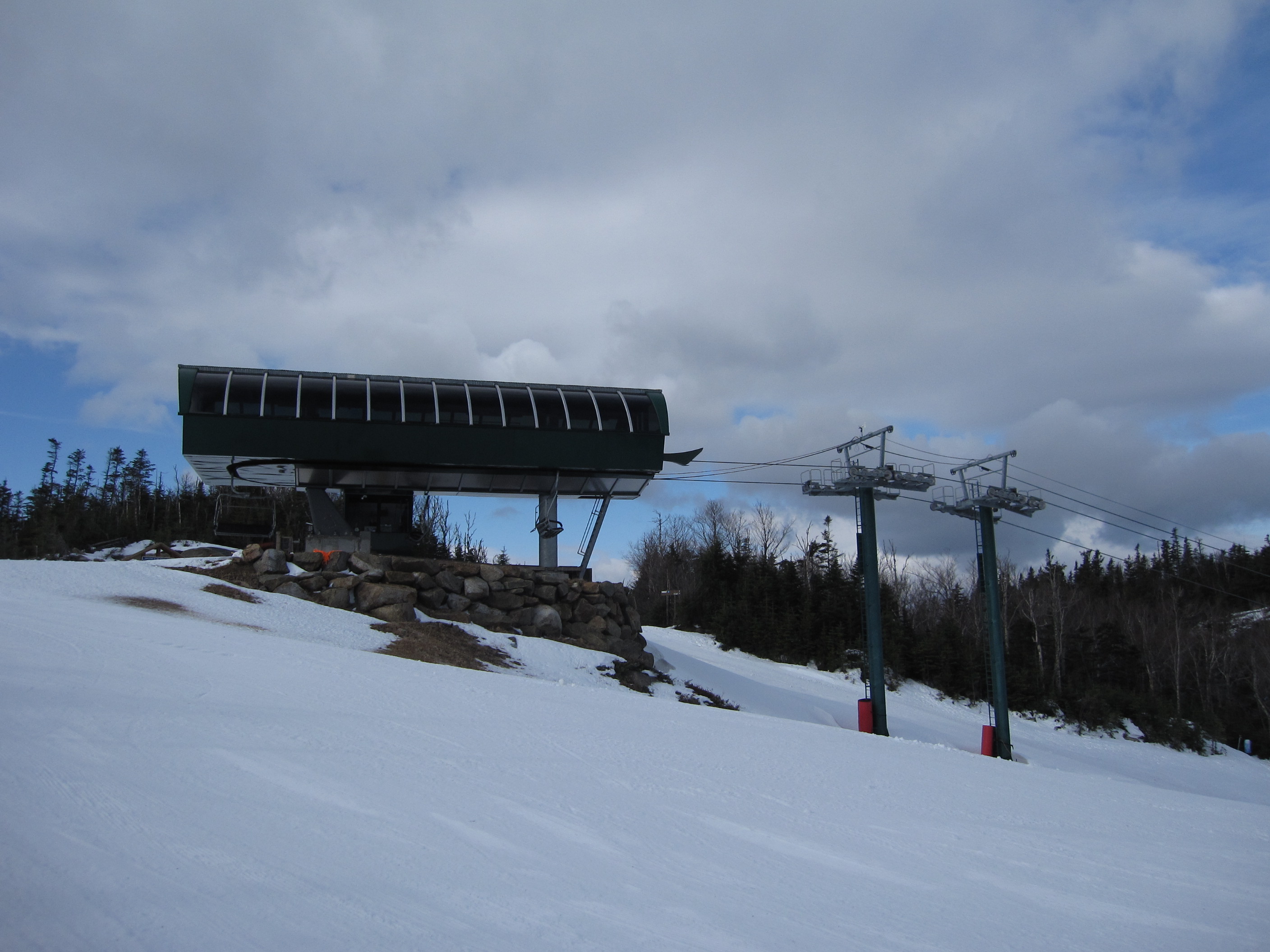
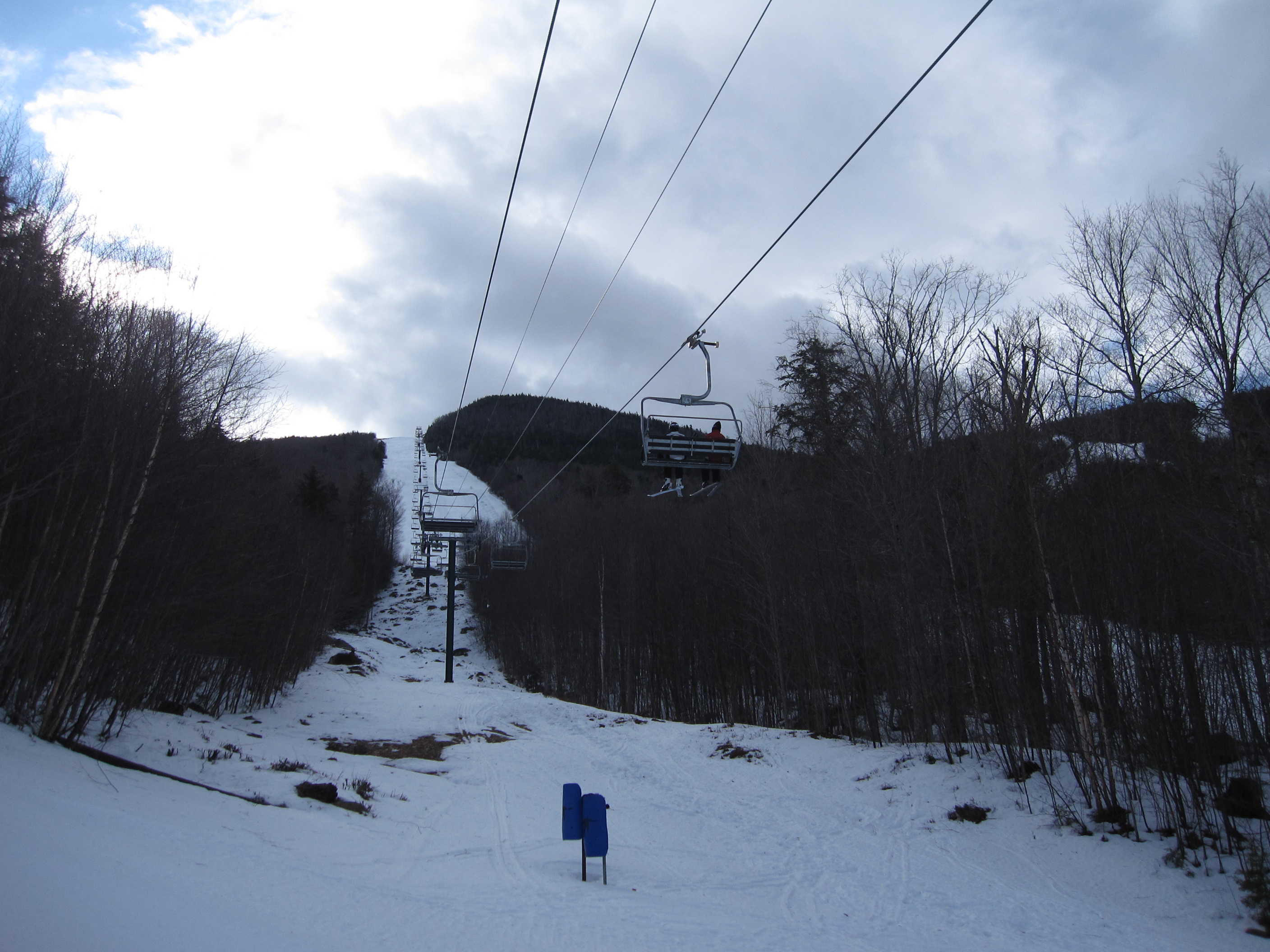
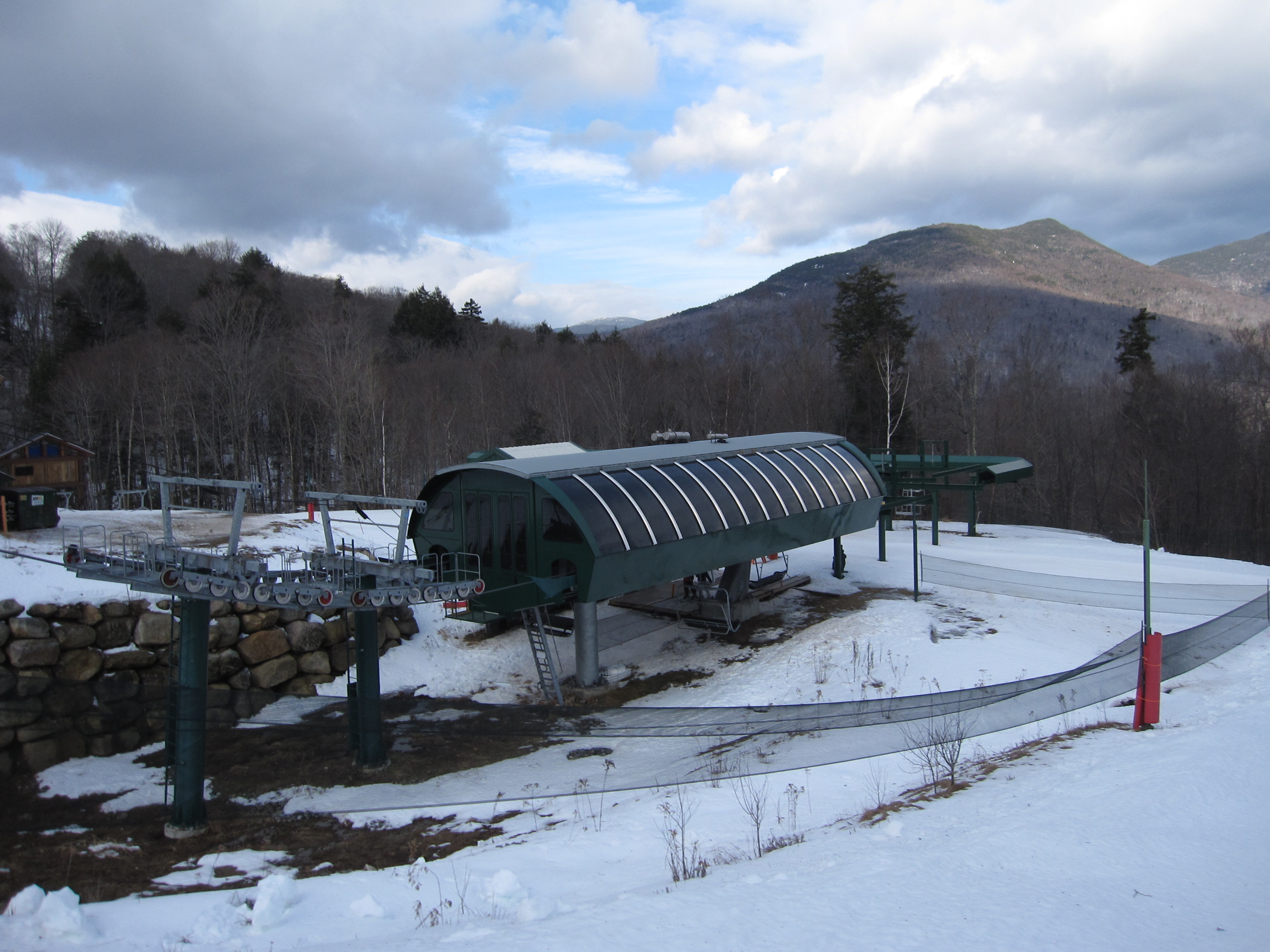
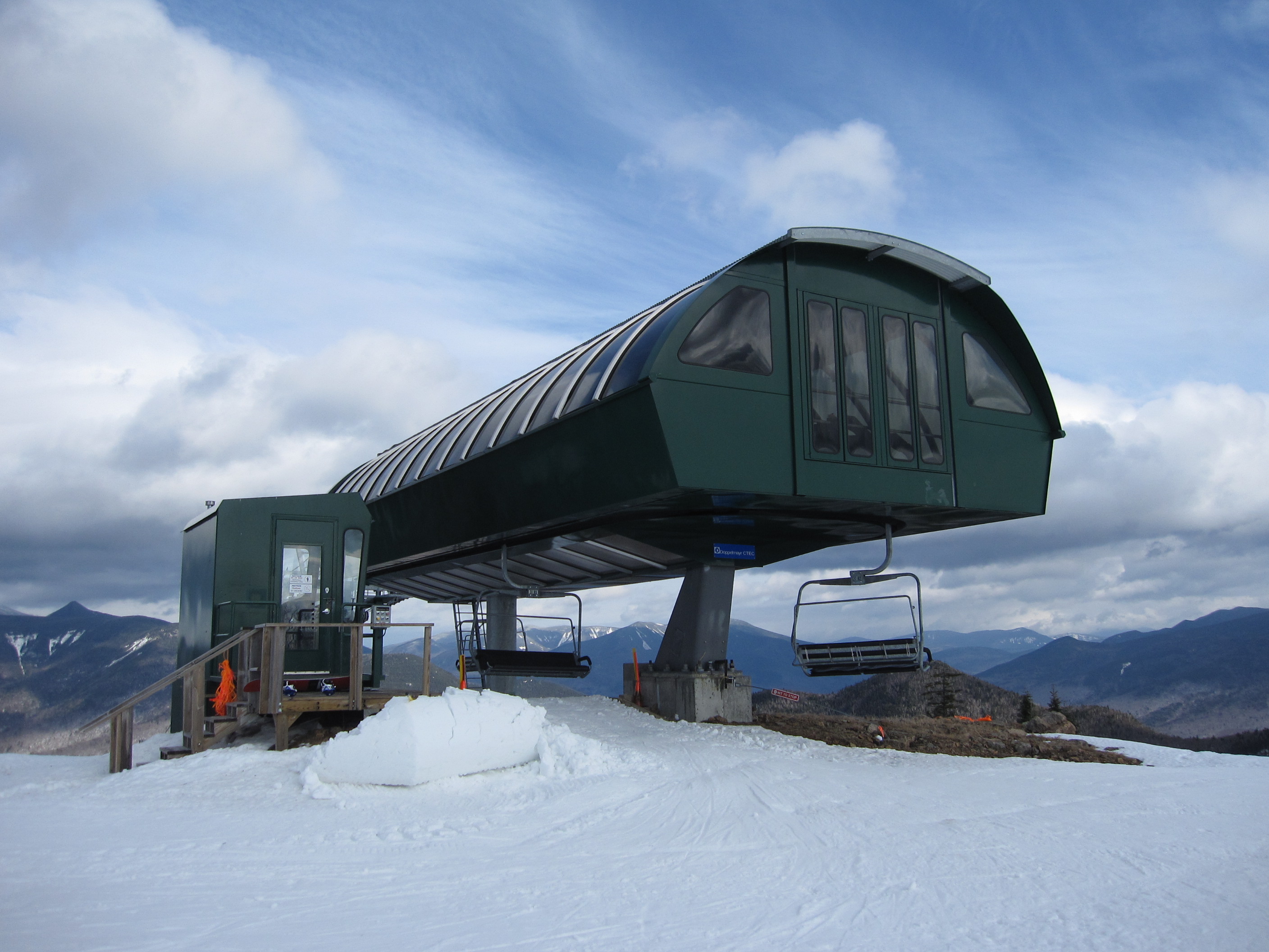
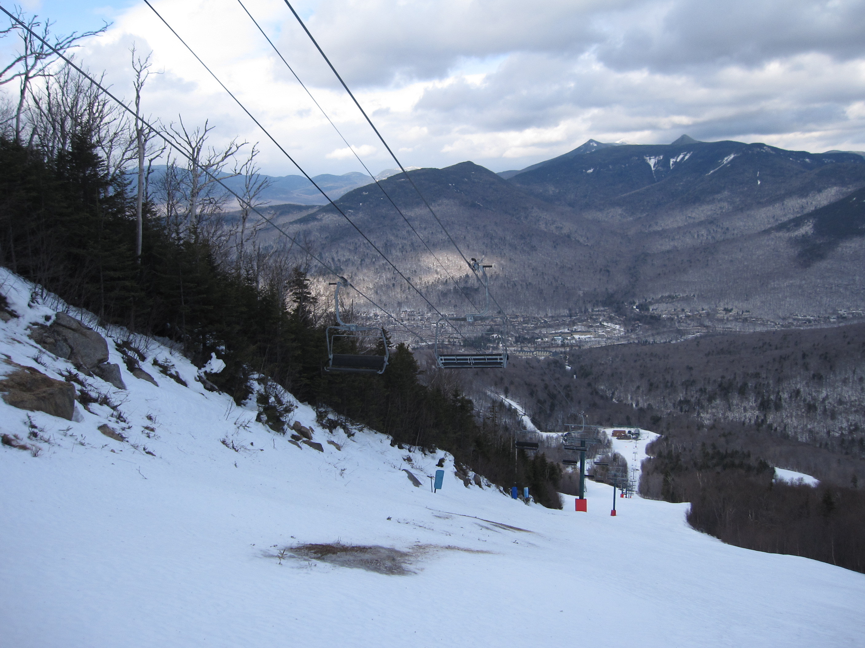
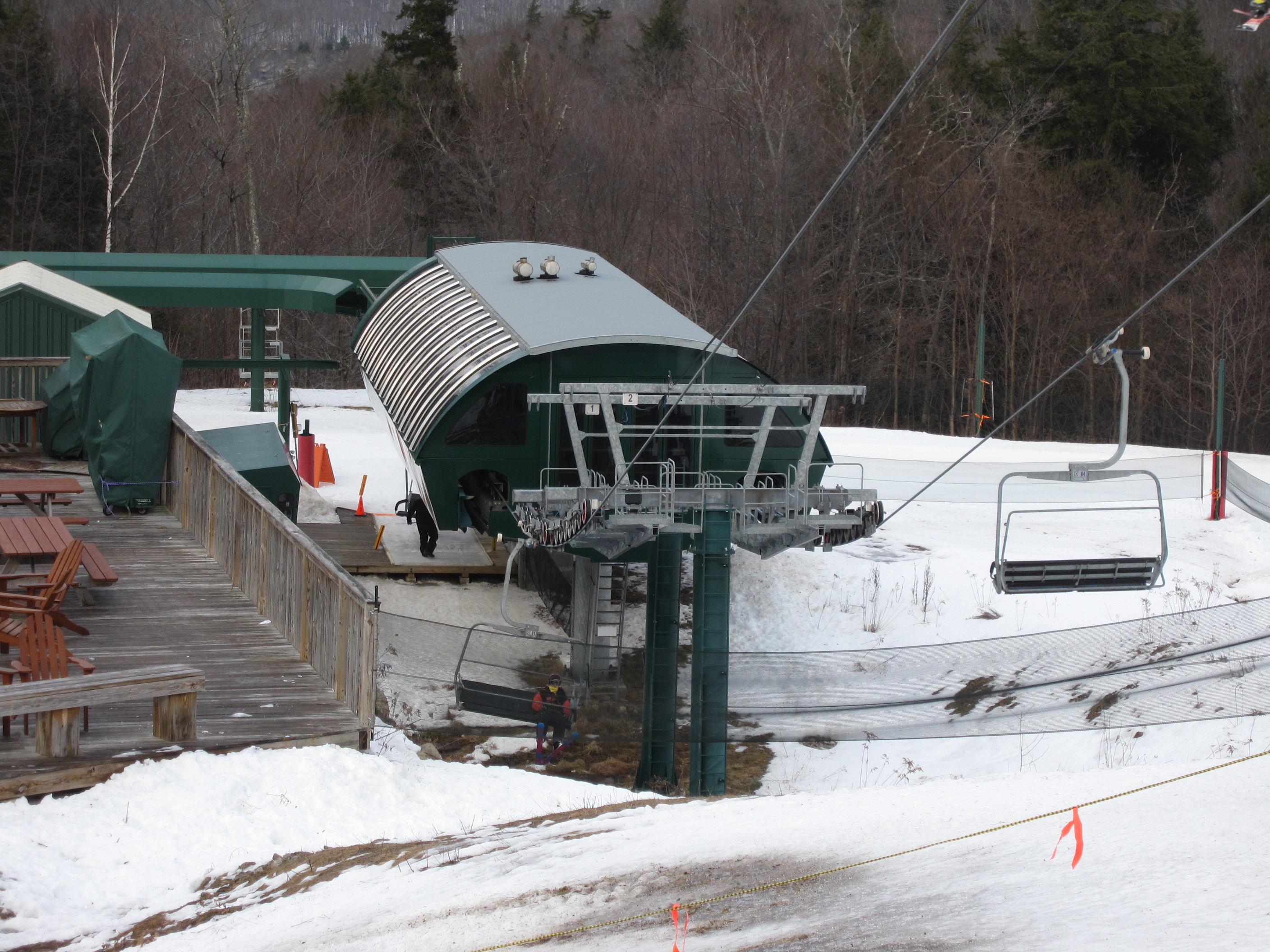
Doppelmayr CTEC Uni-GS terminal with the White Mountains in the background.Break over towers.Chair parking rail.Lower lift line.Tower 10.Top terminal side view.View up the line from below.Lower terminal and towers 1-2.Bottom station and lift line.Riding up the line.Unloading area at the top.View down the line from near the summit.Another view of the line.Bottom terminal from above.
Loon desperate needs more trails off of this lift. While the bottom half of the East Basin trails are technically lappable here, 95%+ of skiers go to Walking Boss, Flume, and Sunset (to at least Tote Road), with the former two having so much traffic that they frequently ice on weekdays and the latter’s traffic mostly being from people departing the North Peak pod altogether.
I hesitate to promote converting Walking Boss Woods to a proper trail given its limited separation from Walking Boss and Loon’s overall shortage of lengthy glades (especially with Undercut going away). So, if the USFS/SUP permit it, going further into Boyle Brook Basin is probably the best option, even if some trails cannot cut back to the base of this lift and have to feed into Brookway.
You’ve probably heard this from someone else by now, but the UNI-GS was a terminal skin for the standard UNI-G made by Doppelmayr-CTEC in the US. They were used on all UNI-G’s produced in the 2000’s, unless the resort specifically ordered from Europe. In 2012 (I think), Doppelmayr discontinued the UNI-GS in favor of a more concise product list.
Those are the Garaventa carriers Doppelmayr inherited when the companies merged. I’ve never seen any supplied with backrest pads (at least in the US), they were all slatted. Individual mountains added the pads. Pure coincidence they showed up a lot on lifts with the UNI-GS terminals, although there seemed to be a higher proportion of them as opposed to the EC/EJ carriers.
For some reason the EJs were considered the “premium” while the Garaventa carriers were considered the more economical option, similar to the UNI-G vs UNI-GS, and I think a lot of mountains just opted to get the cheaper chair with the UNI-GS since they were already looking to save money where they could
I find that so funny, the garaventa chairs are far superior to the EJ chairs. I actually do think that whats more likely is that Salt Lake was already producing the garaventa chairs and therefore it was cheaper to just get locally made equipment than import something.


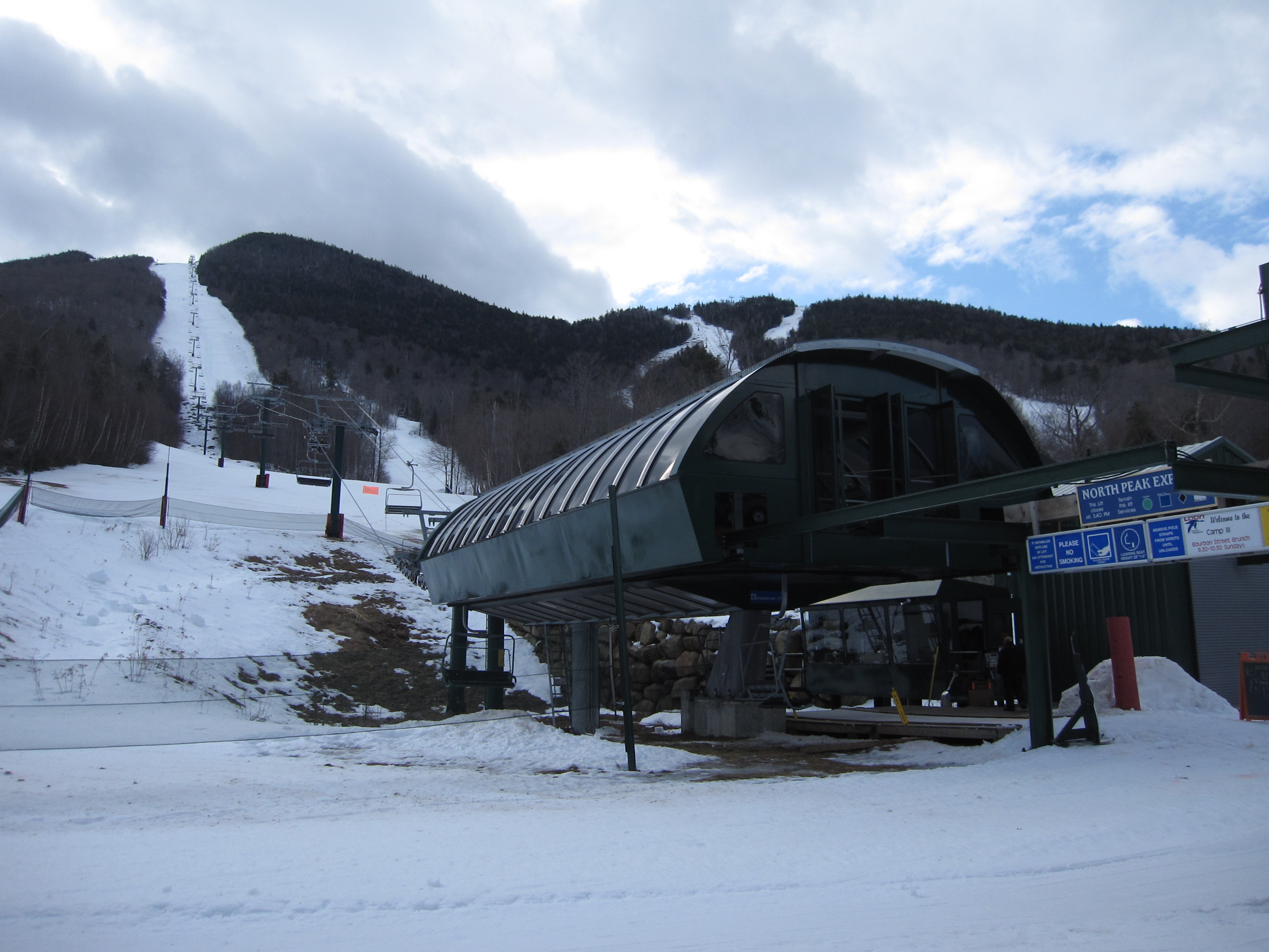


Loon desperate needs more trails off of this lift. While the bottom half of the East Basin trails are technically lappable here, 95%+ of skiers go to Walking Boss, Flume, and Sunset (to at least Tote Road), with the former two having so much traffic that they frequently ice on weekdays and the latter’s traffic mostly being from people departing the North Peak pod altogether.
I hesitate to promote converting Walking Boss Woods to a proper trail given its limited separation from Walking Boss and Loon’s overall shortage of lengthy glades (especially with Undercut going away). So, if the USFS/SUP permit it, going further into Boyle Brook Basin is probably the best option, even if some trails cannot cut back to the base of this lift and have to feed into Brookway.
LikeLike
Whatever happened to the UNI-GS terminal?
LikeLike
You’ve probably heard this from someone else by now, but the UNI-GS was a terminal skin for the standard UNI-G made by Doppelmayr-CTEC in the US. They were used on all UNI-G’s produced in the 2000’s, unless the resort specifically ordered from Europe. In 2012 (I think), Doppelmayr discontinued the UNI-GS in favor of a more concise product list.
LikeLiked by 1 person
UNI-GS was discontinued in 2010, not 2012.
LikeLiked by 1 person
Why did they take the padding off the seatbacks? And why do so many UNI-GS’s not have seatback padding? Was it that much more expensive?
LikeLiked by 1 person
Those are the Garaventa carriers Doppelmayr inherited when the companies merged. I’ve never seen any supplied with backrest pads (at least in the US), they were all slatted. Individual mountains added the pads. Pure coincidence they showed up a lot on lifts with the UNI-GS terminals, although there seemed to be a higher proportion of them as opposed to the EC/EJ carriers.
LikeLike
For some reason the EJs were considered the “premium” while the Garaventa carriers were considered the more economical option, similar to the UNI-G vs UNI-GS, and I think a lot of mountains just opted to get the cheaper chair with the UNI-GS since they were already looking to save money where they could
LikeLike
I find that so funny, the garaventa chairs are far superior to the EJ chairs. I actually do think that whats more likely is that Salt Lake was already producing the garaventa chairs and therefore it was cheaper to just get locally made equipment than import something.
LikeLike