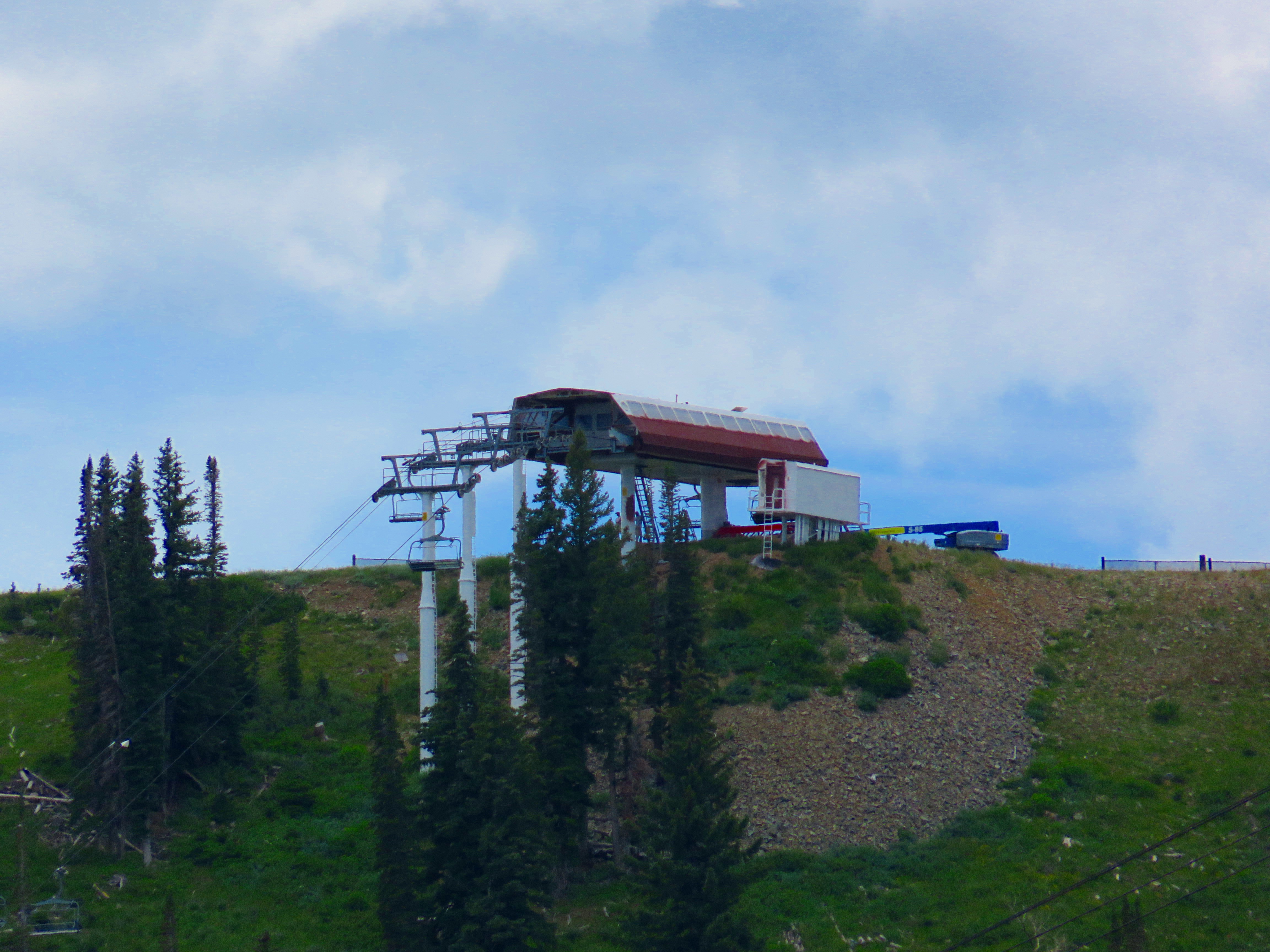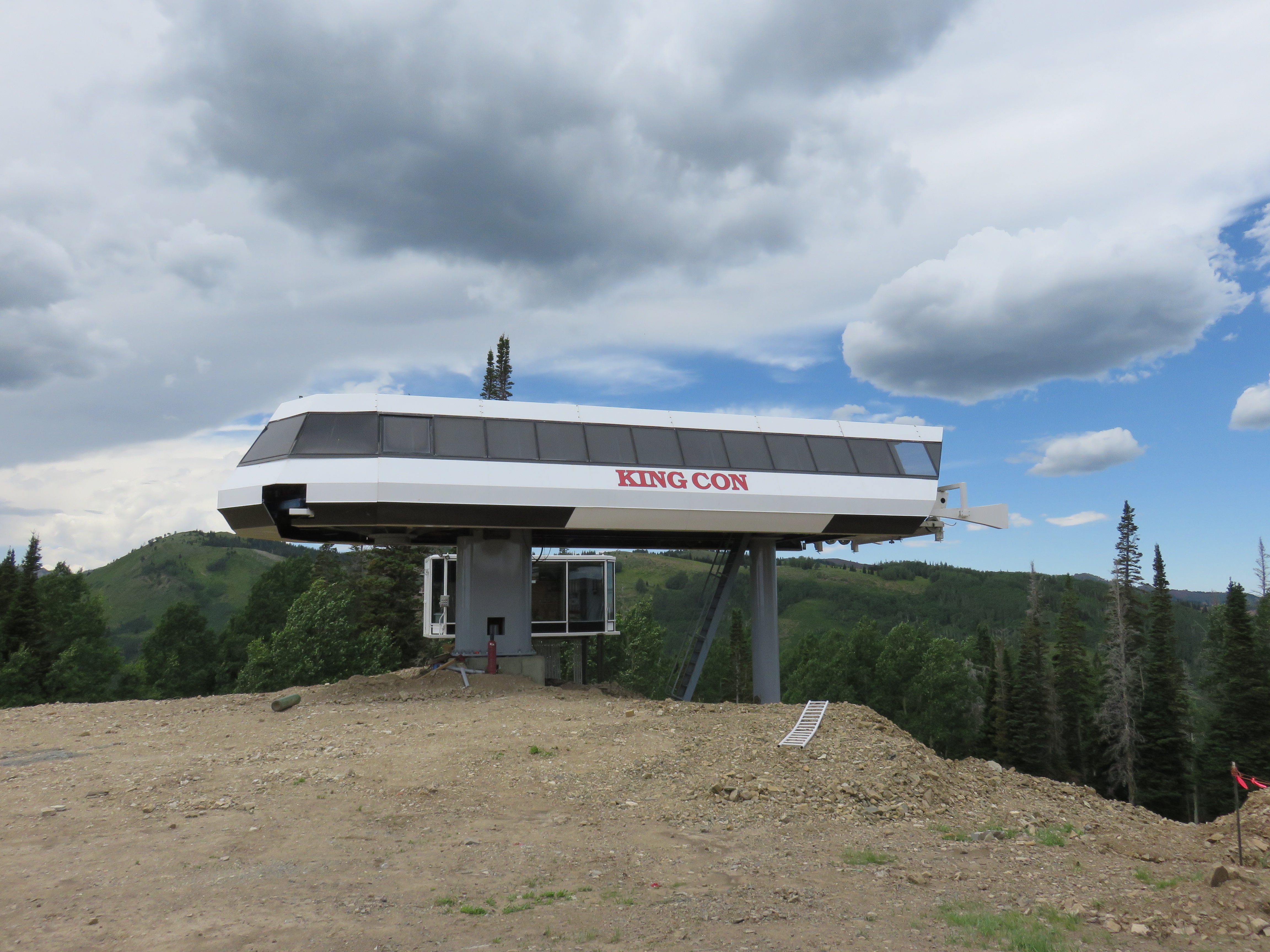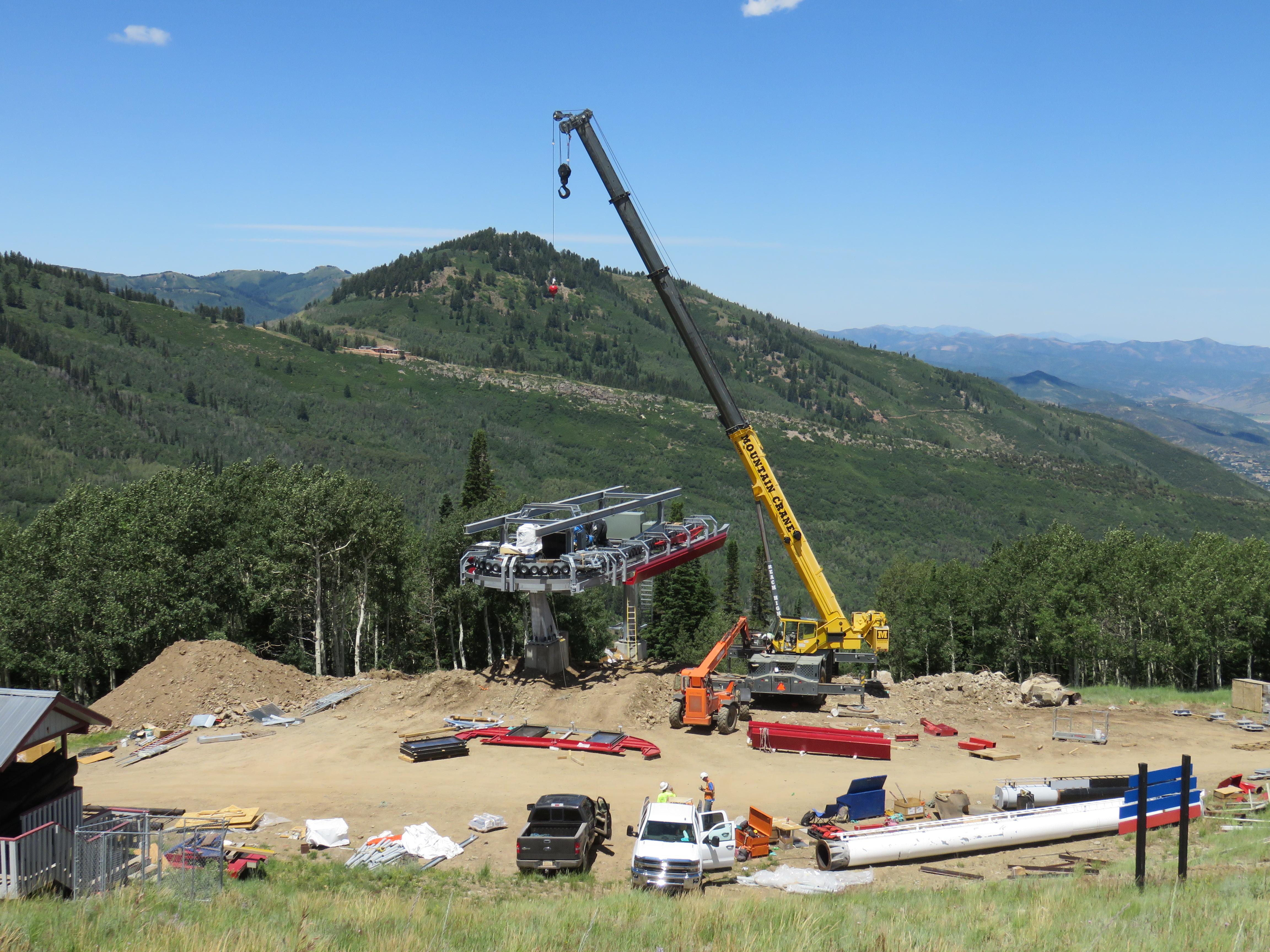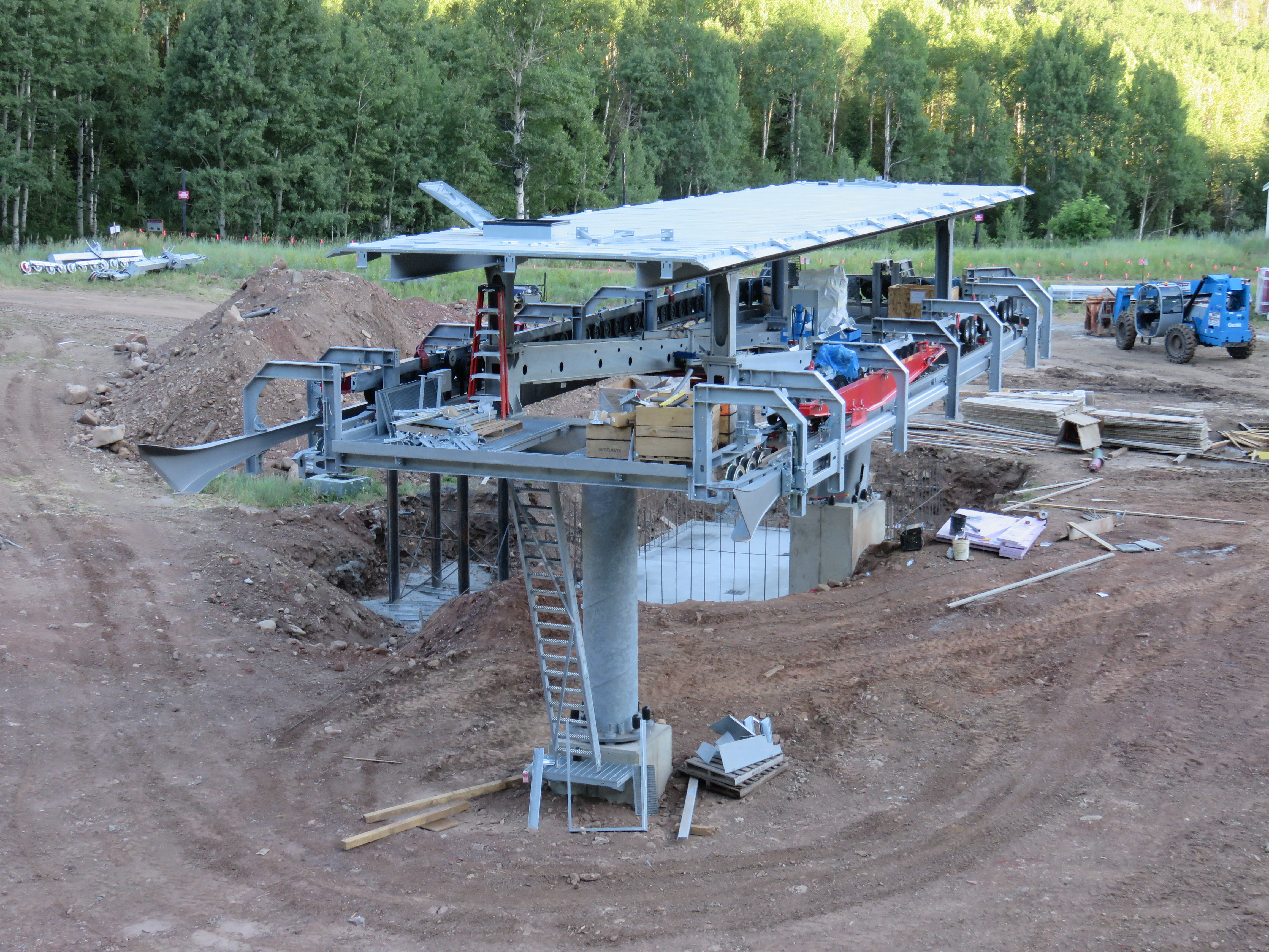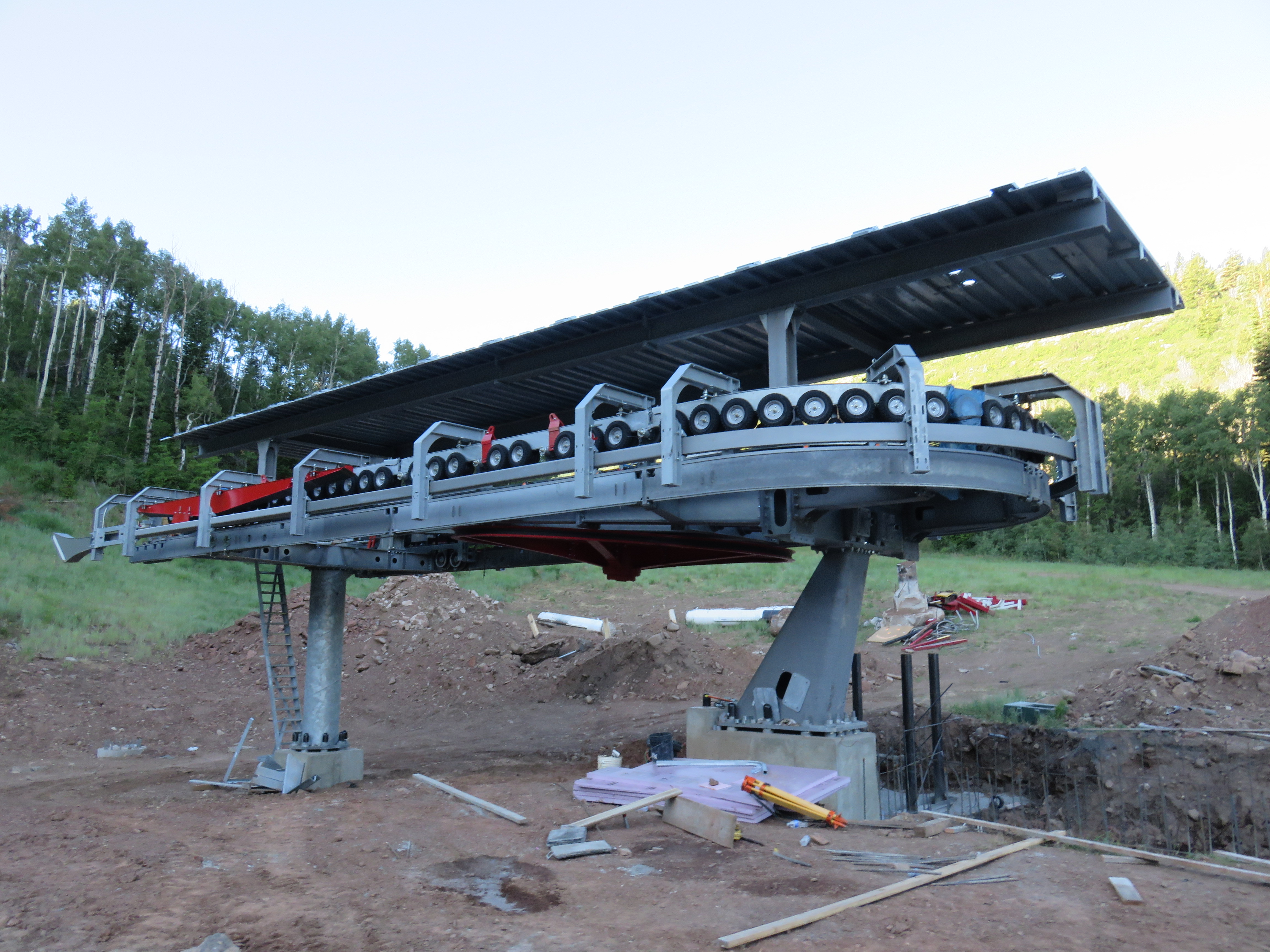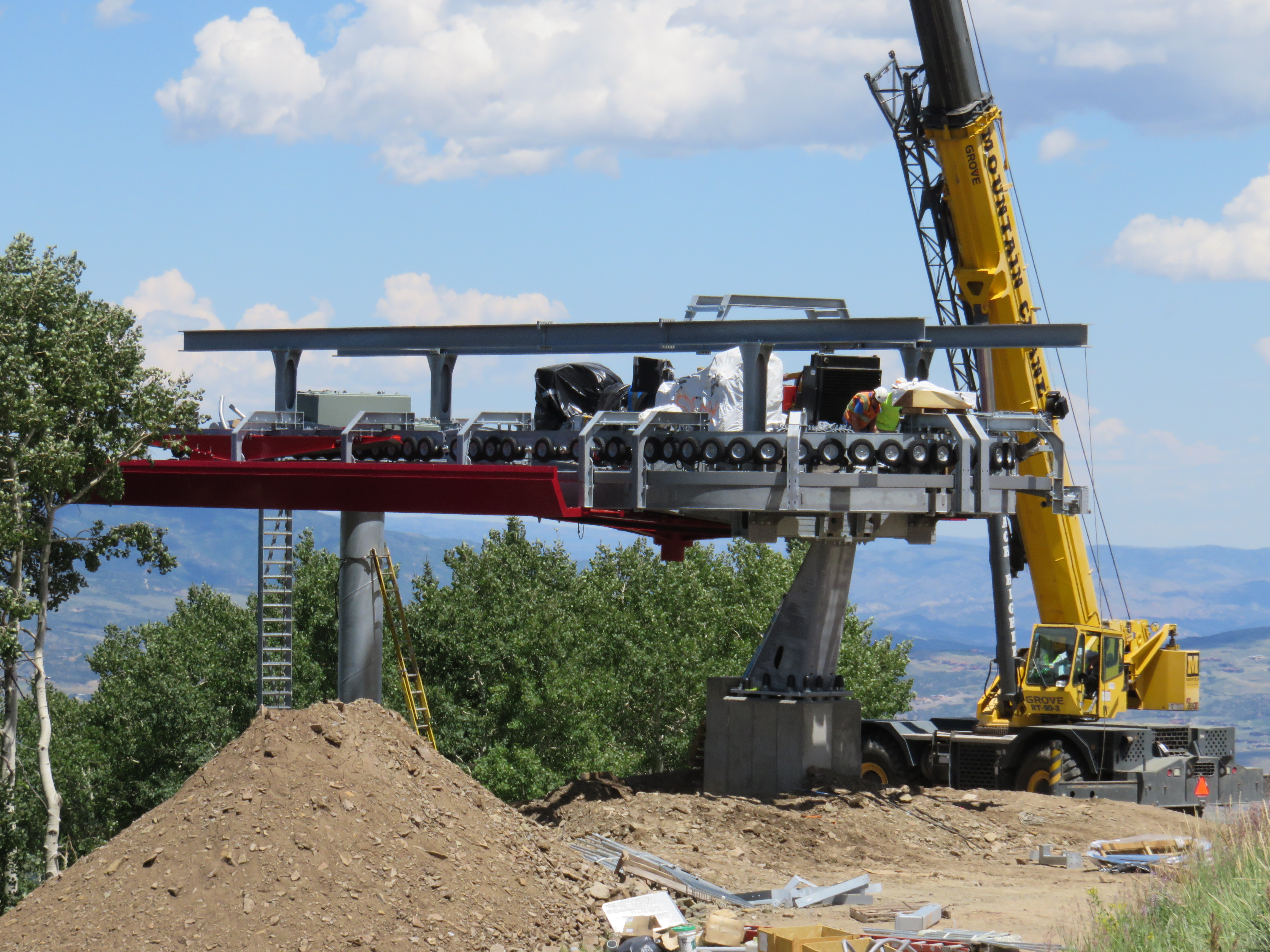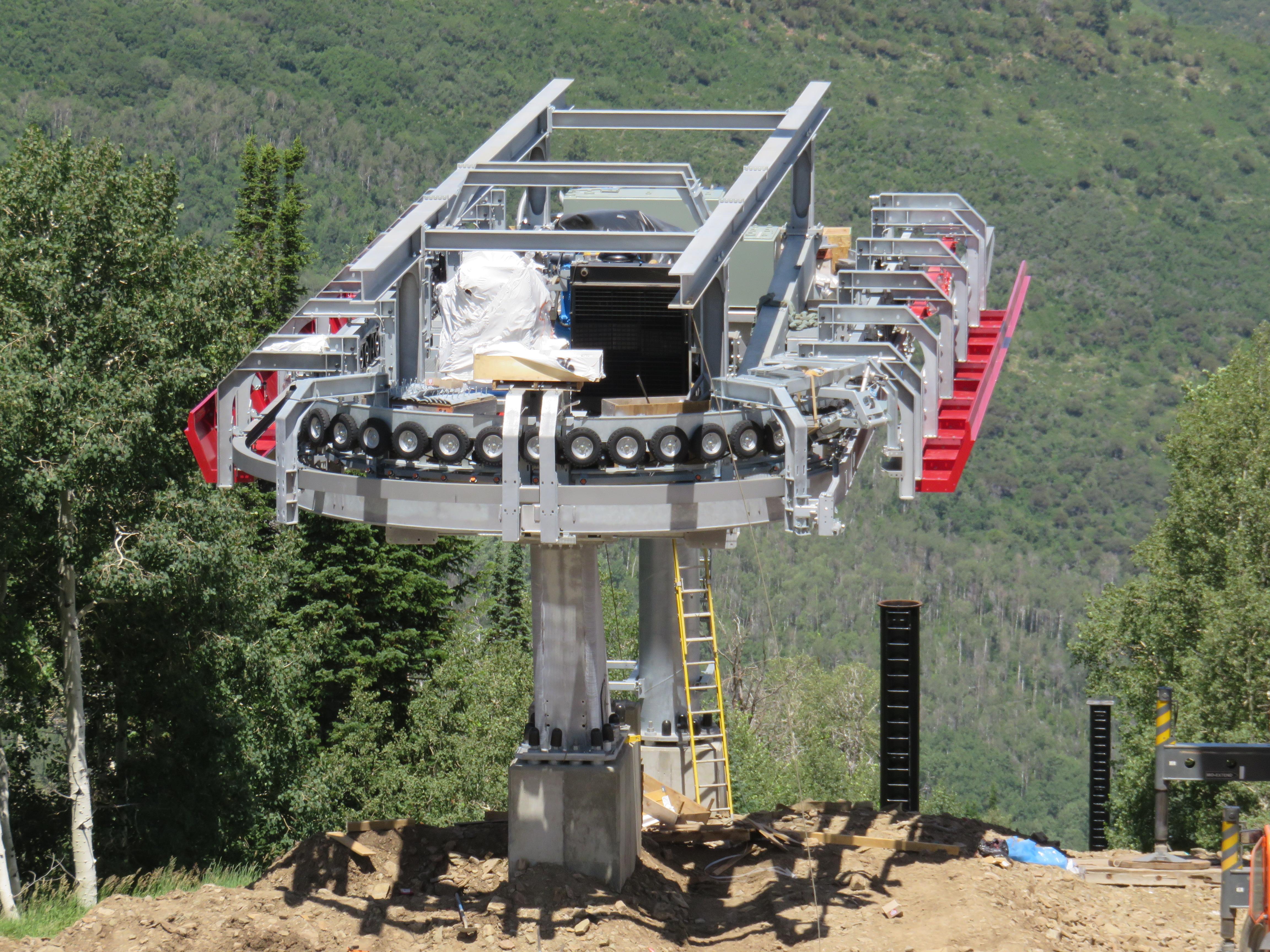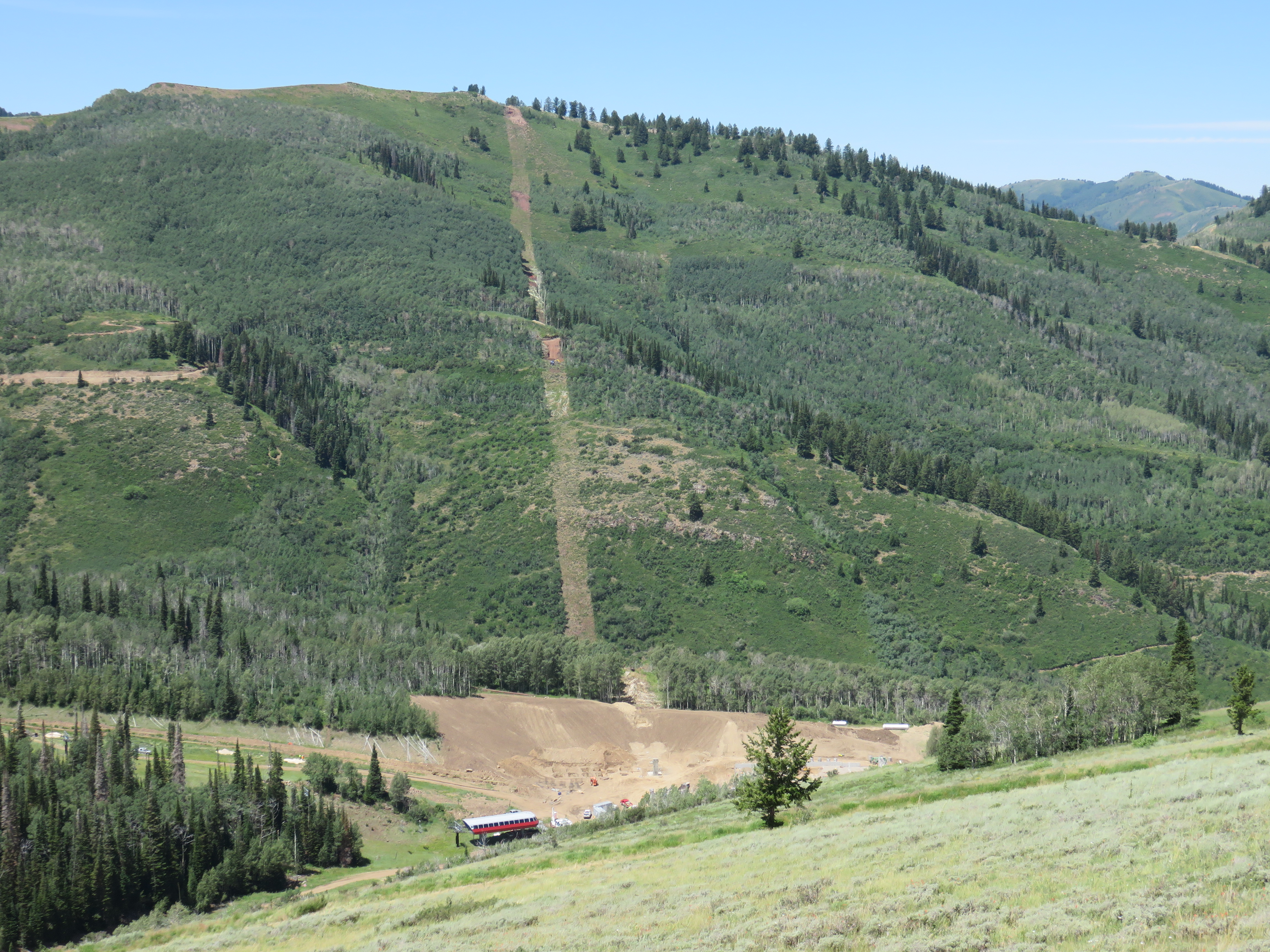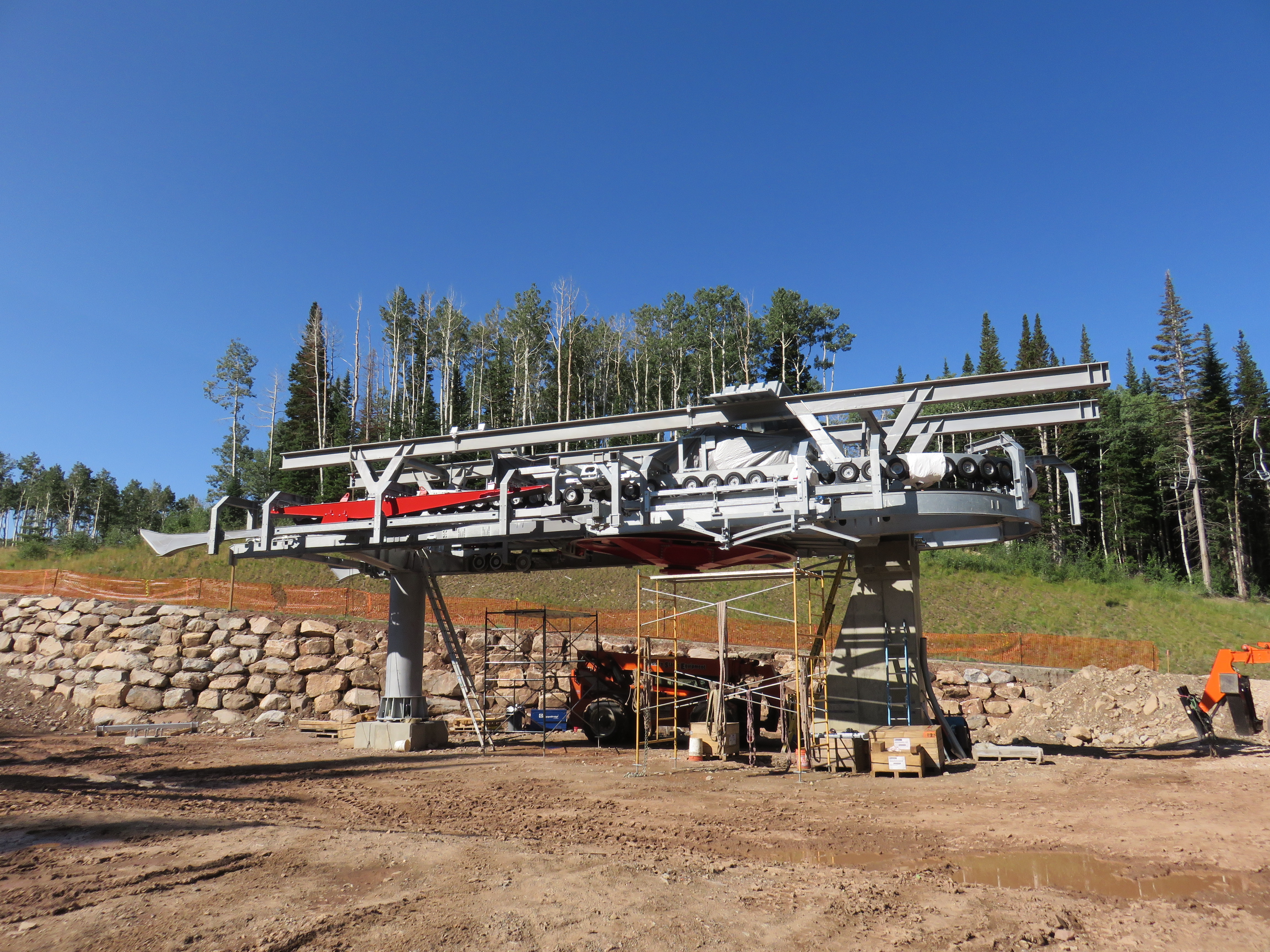
Construction on Park City’s new lifts has noticeably shifted towards the new Quicksilver Gondola since my last update a few weeks ago. Steel for the drive and return terminals is going up and there is only one tower left to pour concrete for. The angle station is the least far along with just holes in the ground at this point.
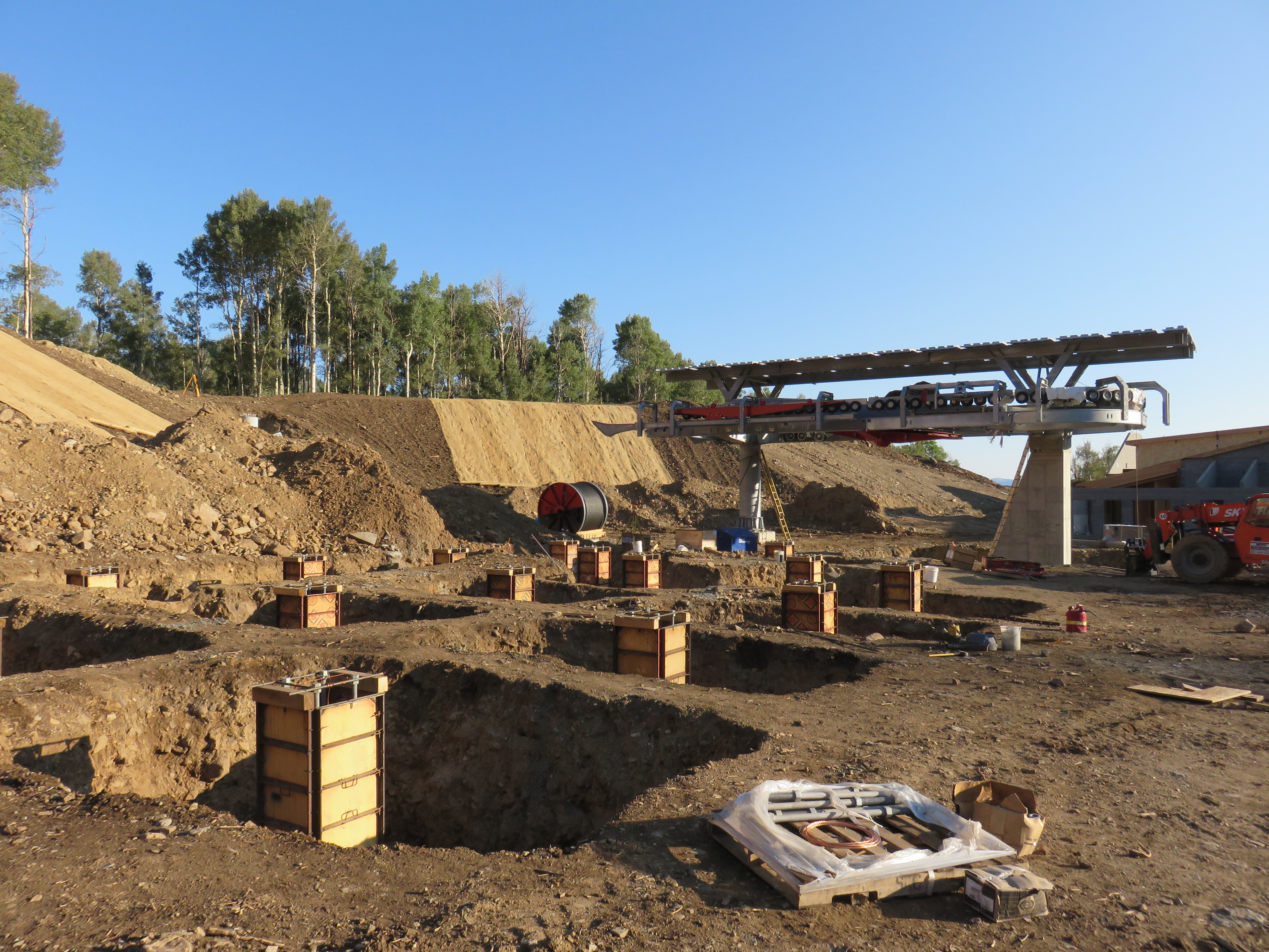
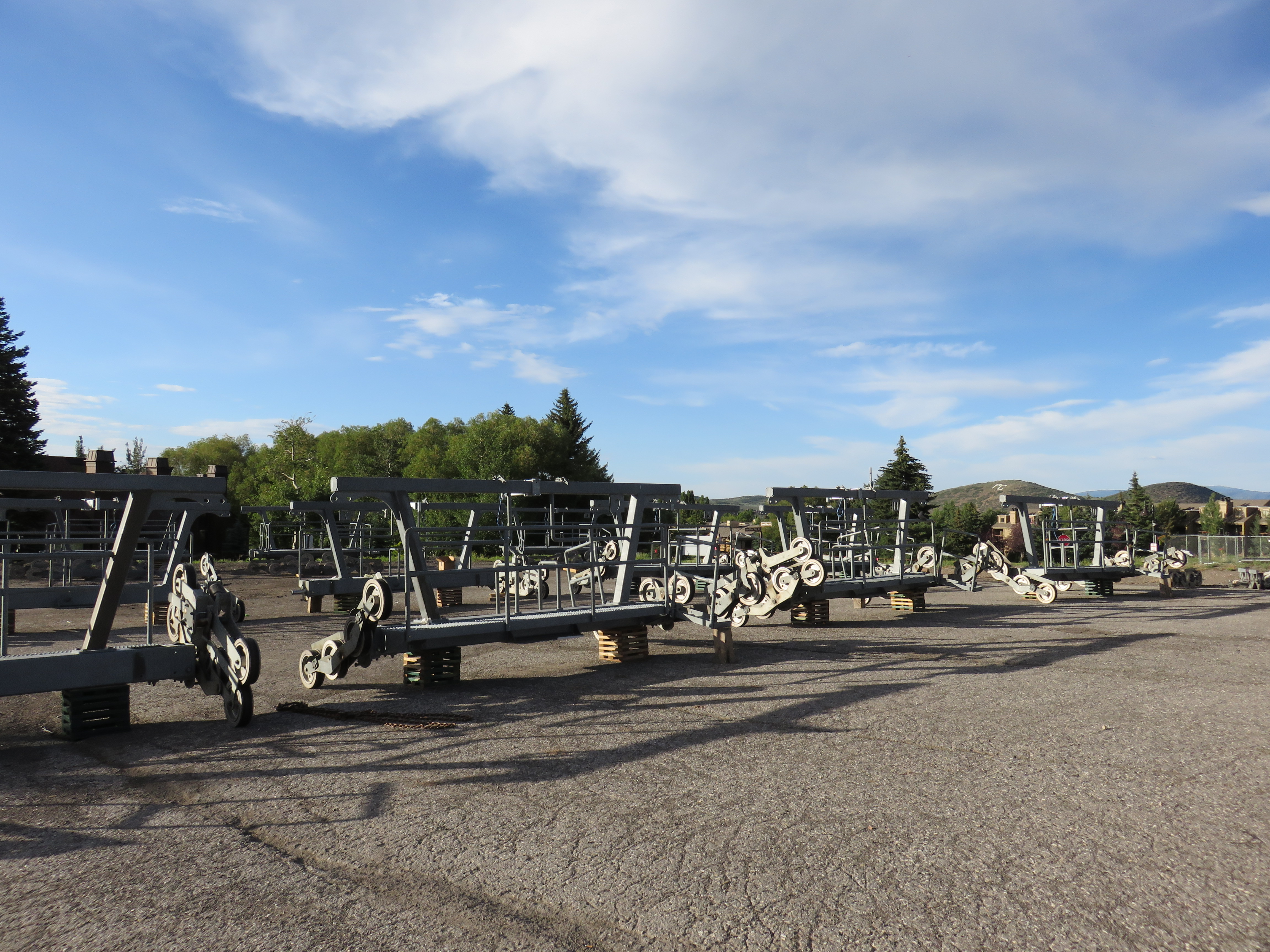
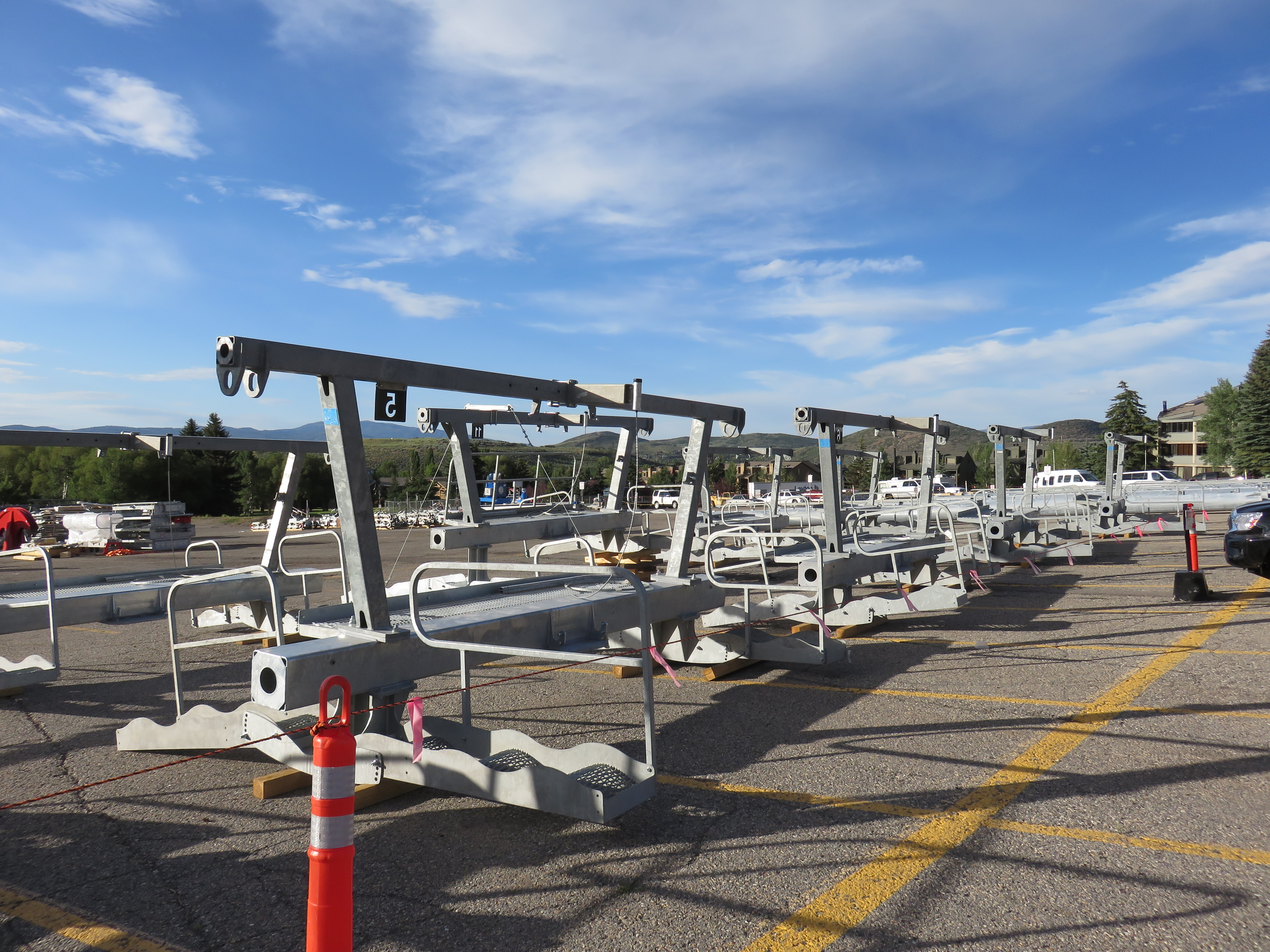
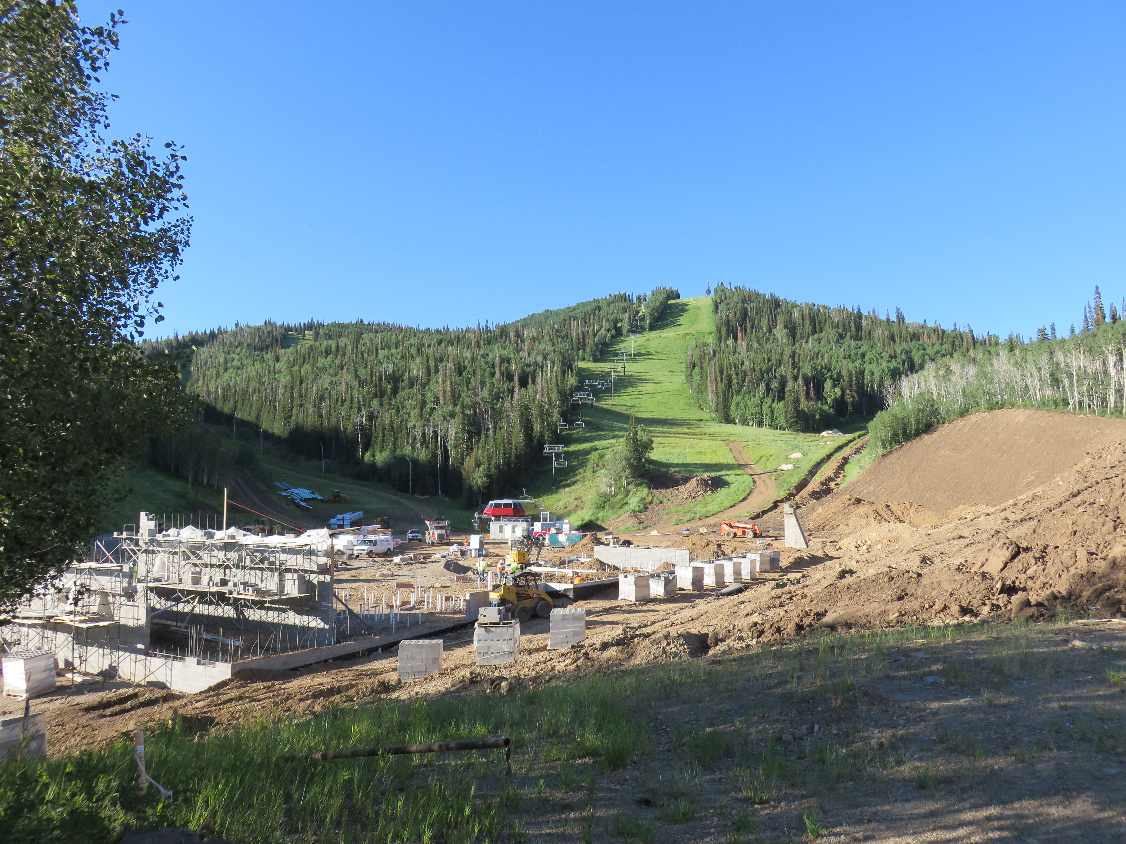
The return terminal is going up next to the new Miners Camp lodge and Silverlode lift. A cabin parking facility will be here and it appears it will be big enough for all the cabins, unlike the small maintenance bays at the Red Pine Gondola and Orange Bubble Express. It looks like for the first year it will just have rails and no roof. I’m guessing a building will be built over the whole thing another year.
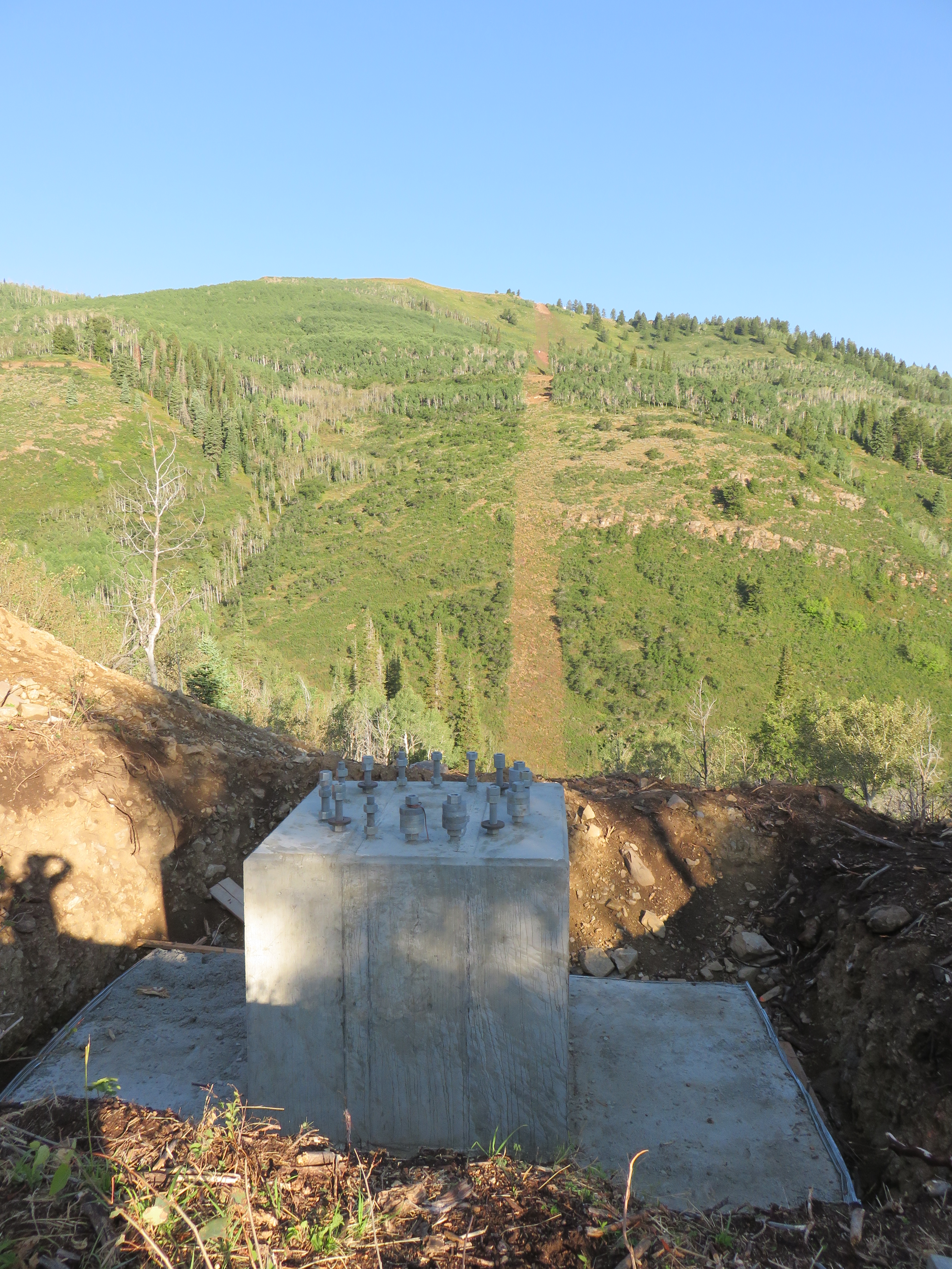
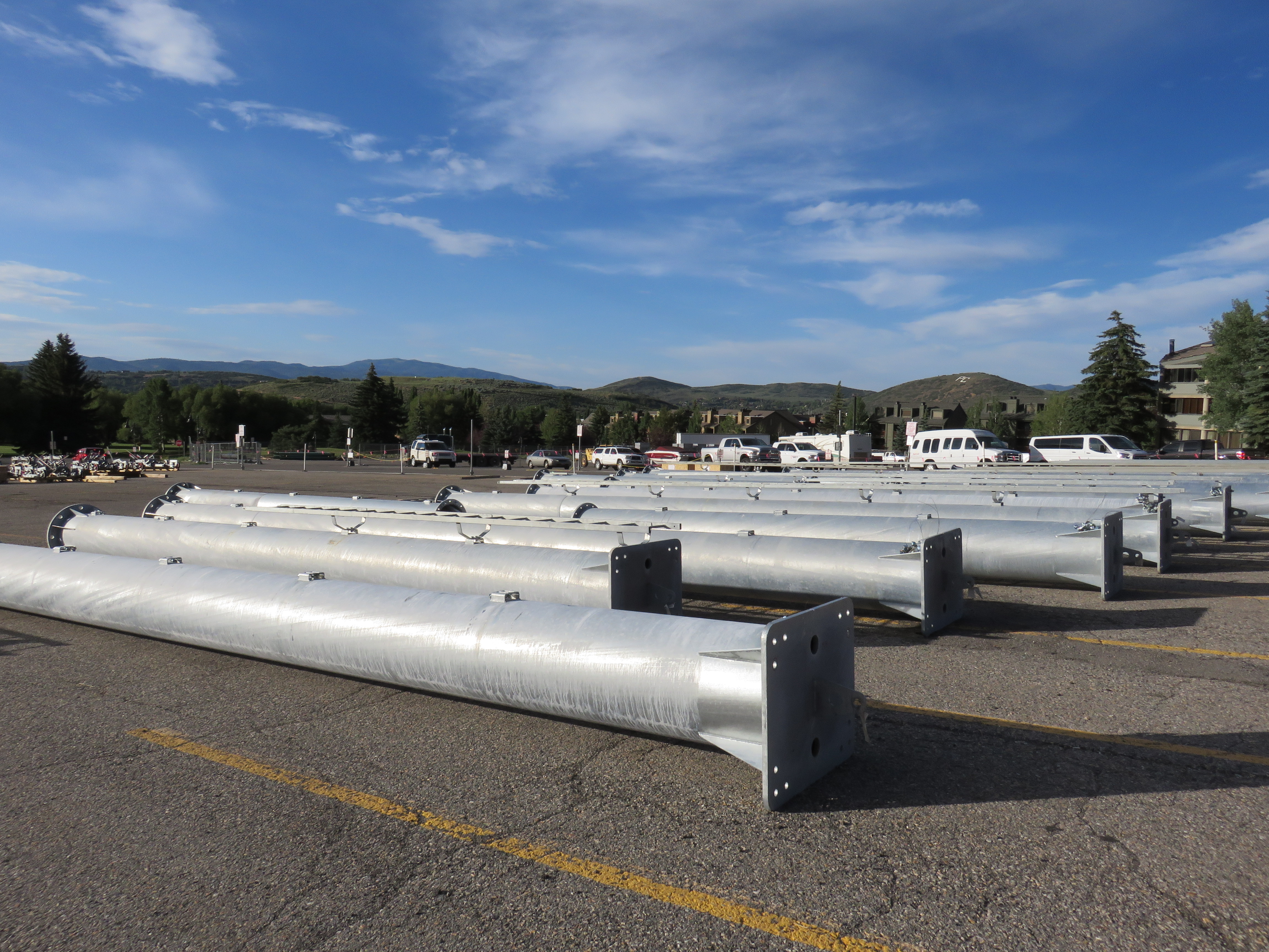
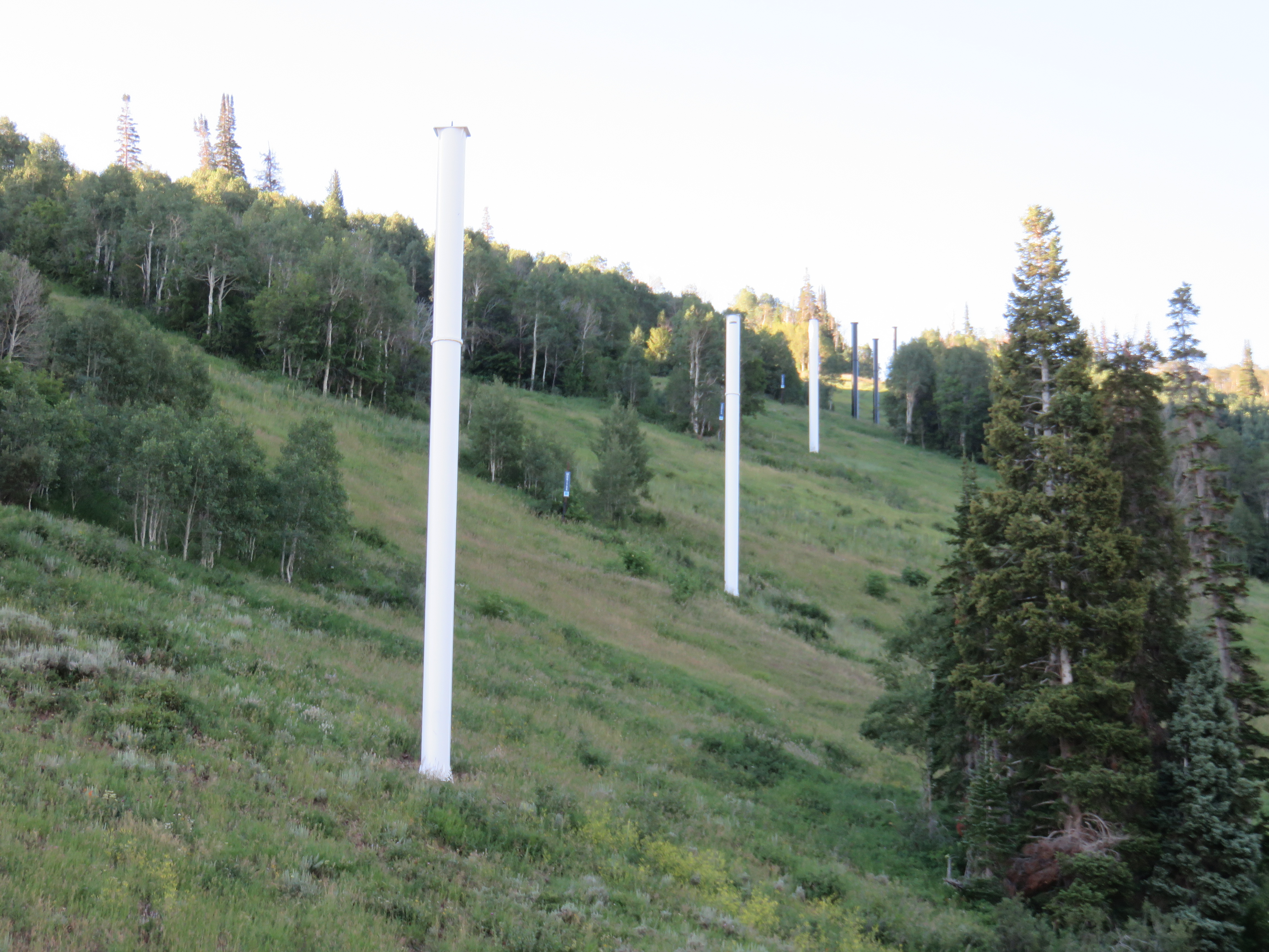
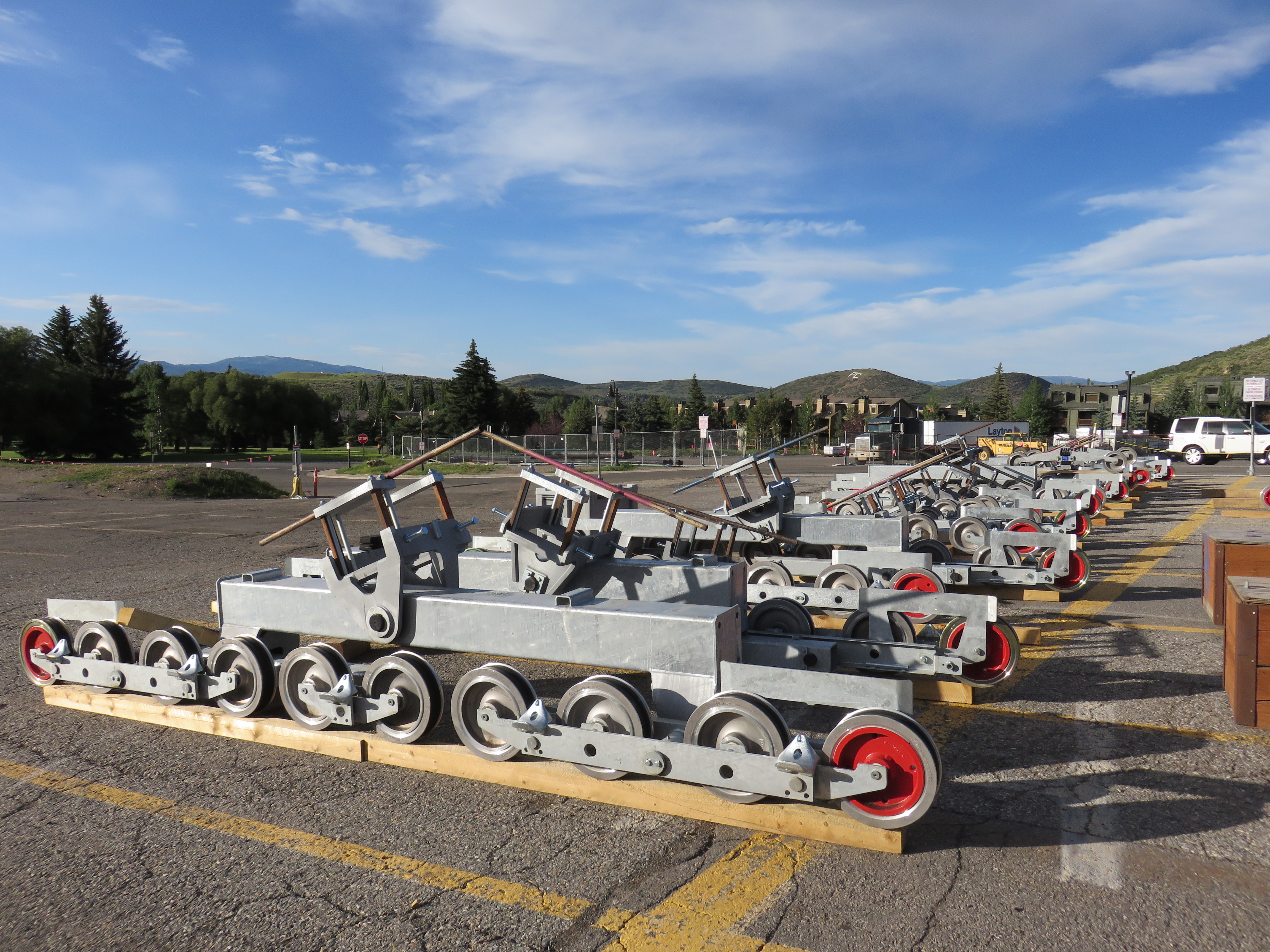
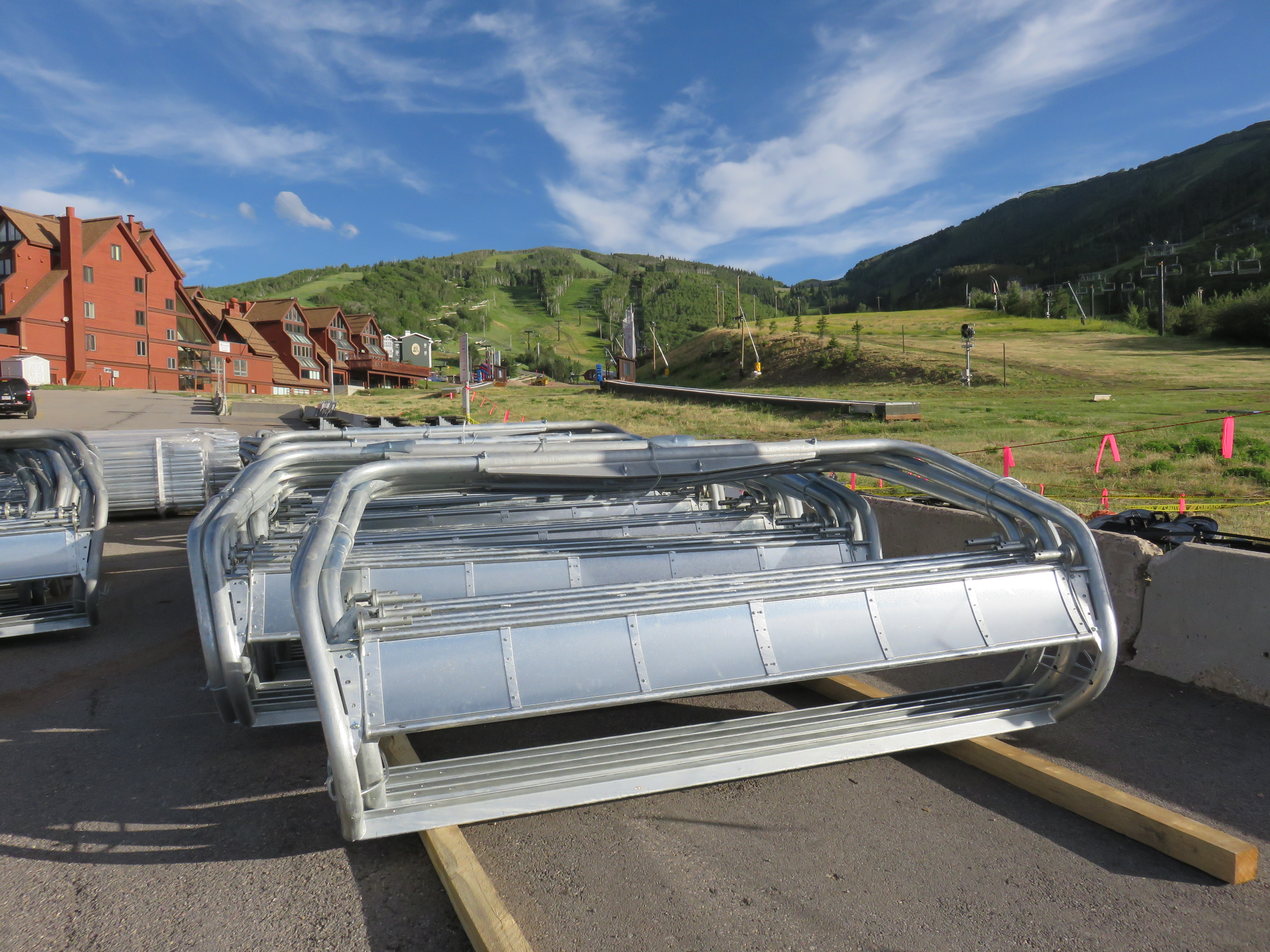
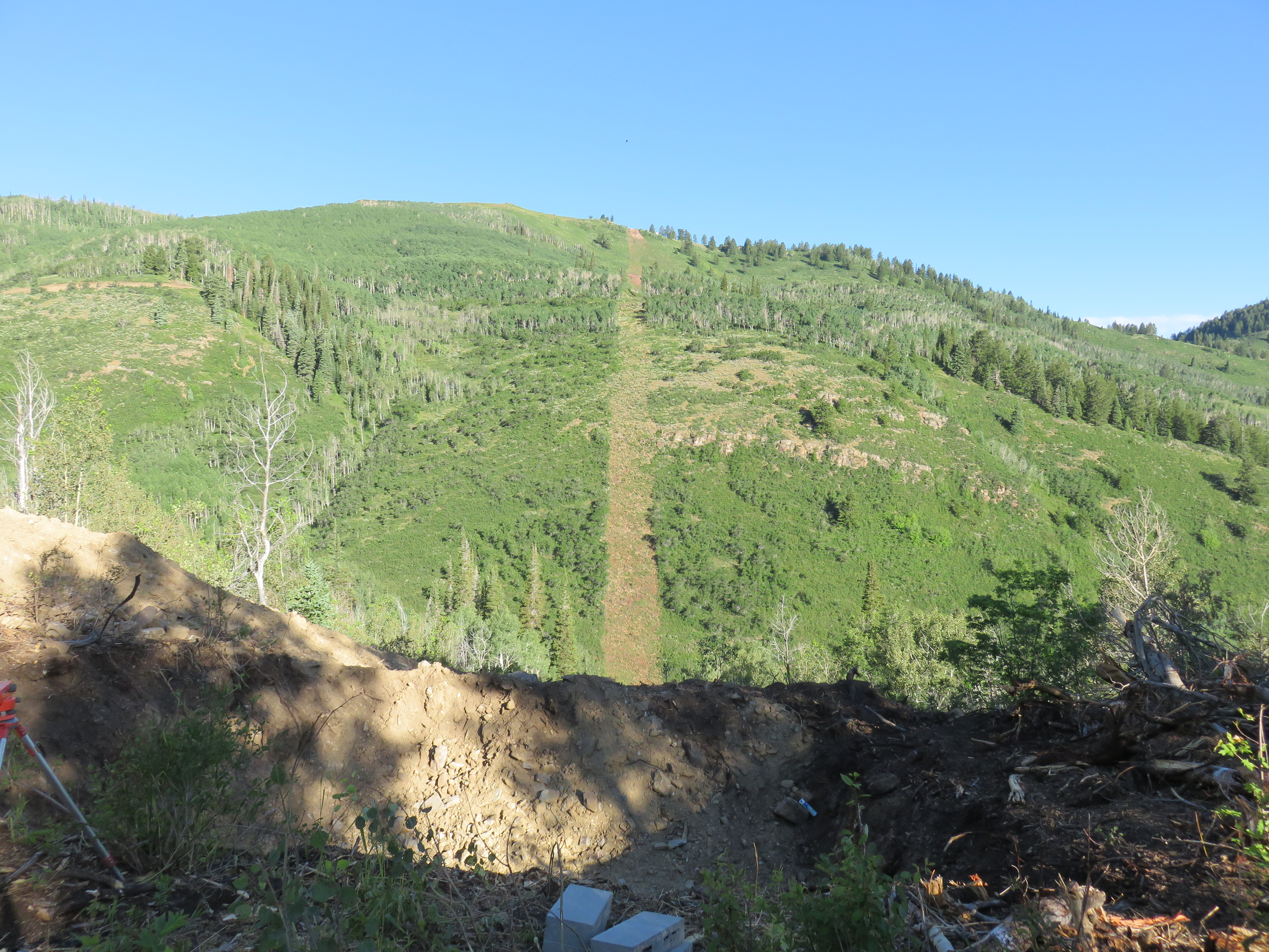
Quicksilver will have 27 towers numbered from the drive terminal in White Pine Canyon. There are only four towers in what used to be Park City Ski Area. I did not realize until now that there will be a massive span over Thaynes Canyon that will rival the existing Red Pine Gondola with cabins at least 200 feet in the air. Evidently Park City traded lower wind tolerance and a difficult evacuation scenario for fewer towers and a shorter lift.